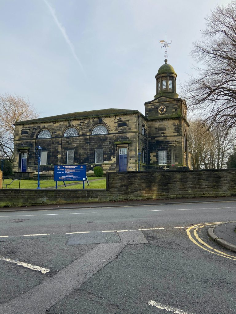
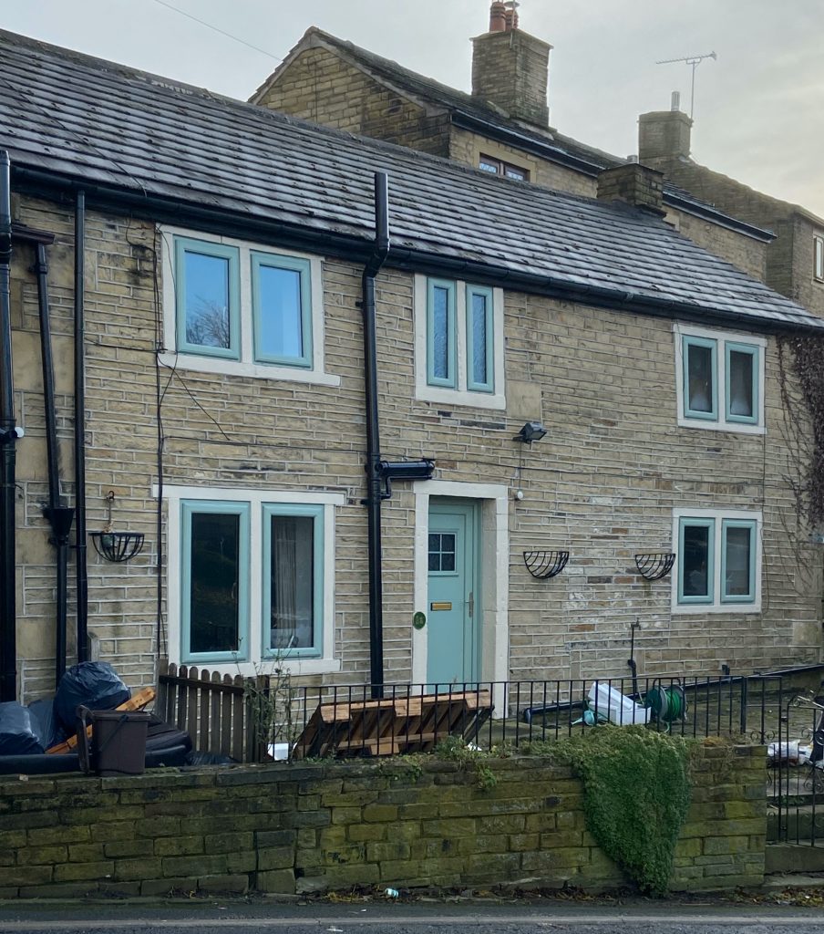
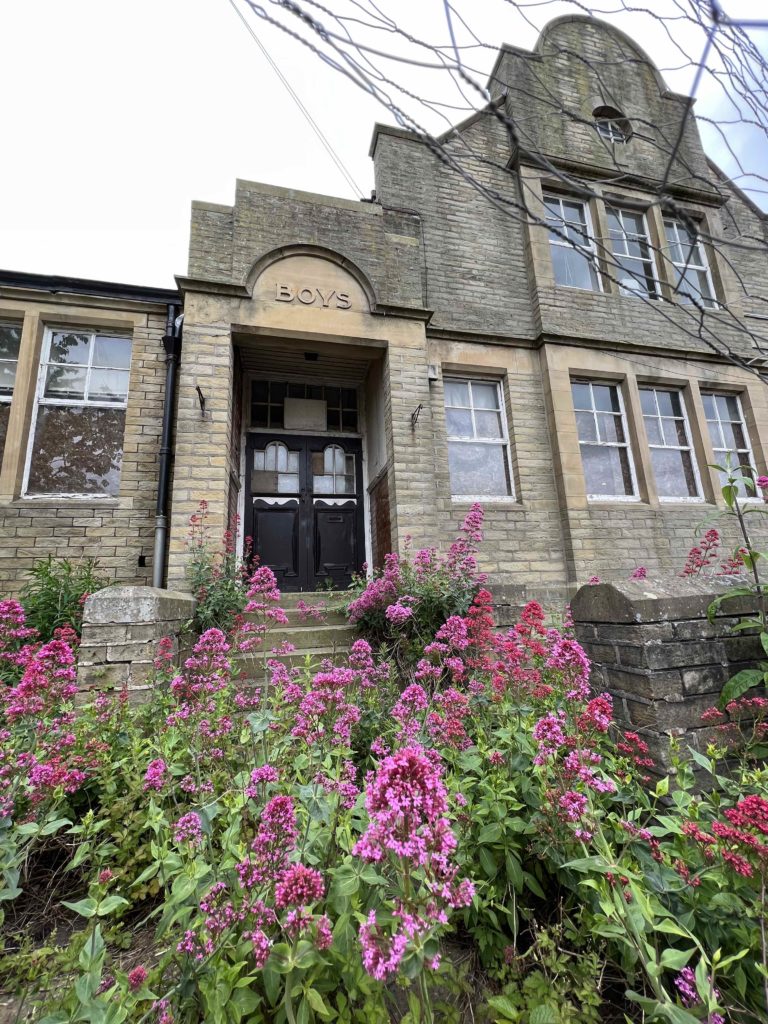
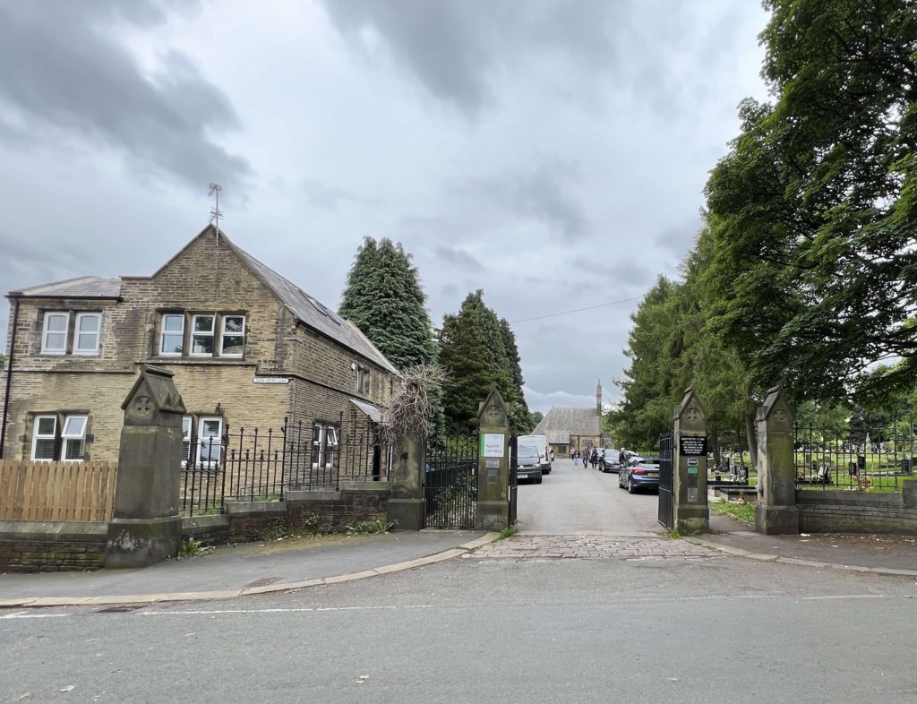
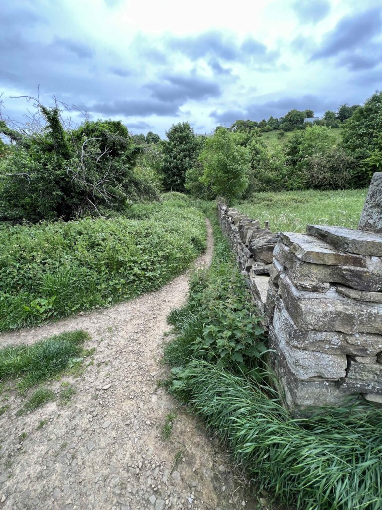
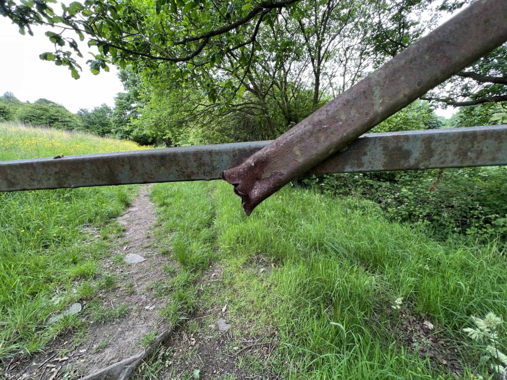
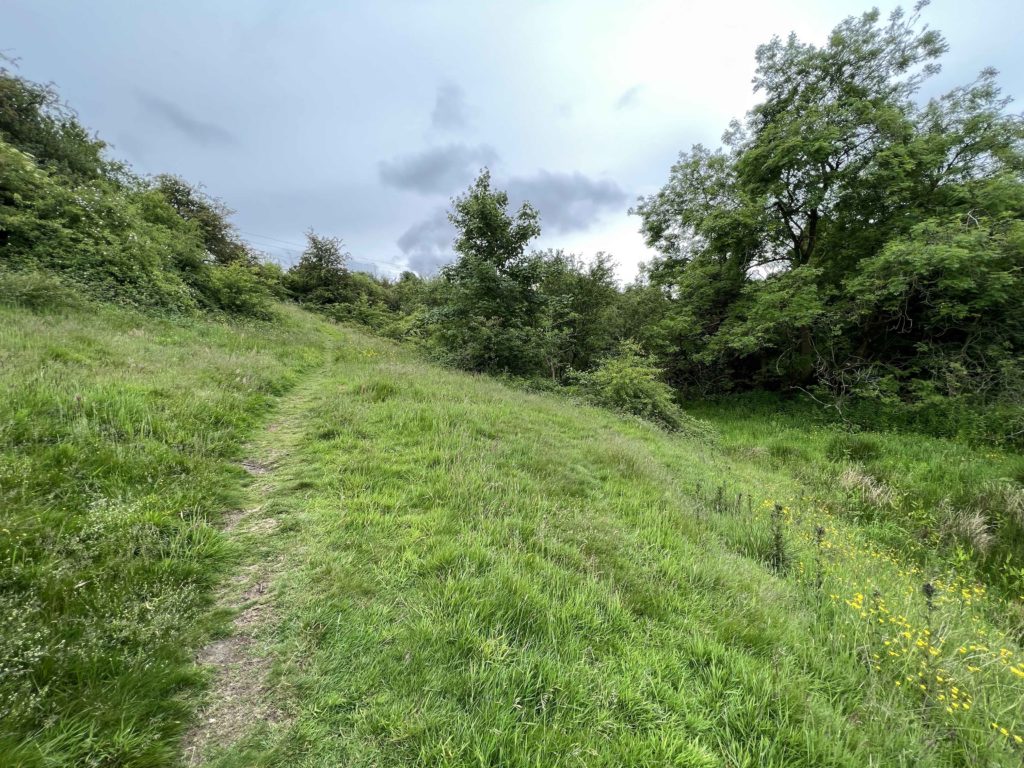
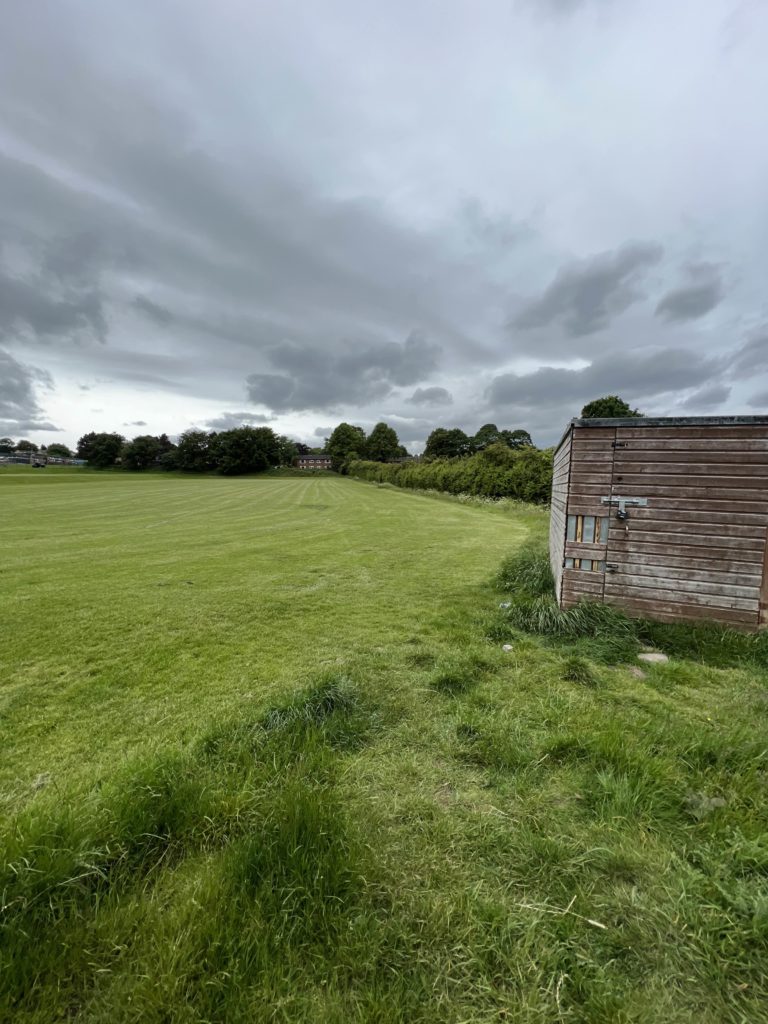
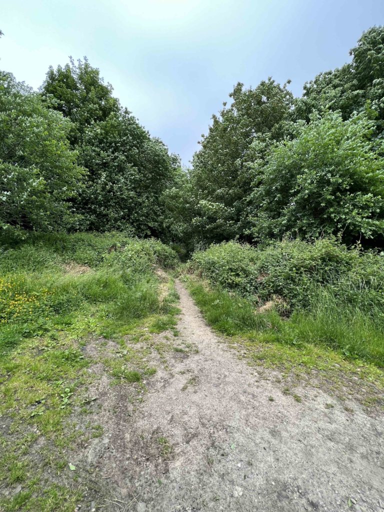
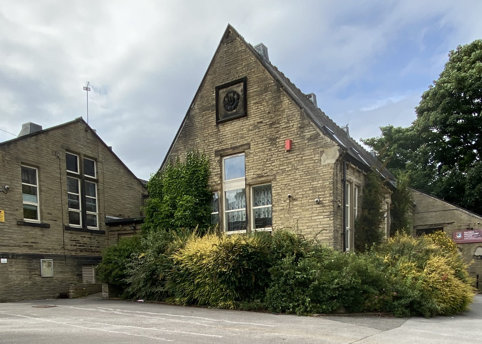
Another Virtual History Walk Around Part of Rastrick

On Wednesday 8th June 2022, I led a walk on behalf of the Brighouse Historical Society which started and finished at St. Matthew’s Church, Rastrick and looked at some of the historical features within this particular area. The weather stayed fine but with all the recent rain and sun, the vegetation in the fields and by the paths had gone crazy. After doing an initial recce of the route, I found that the gate into Lower High Field, near to the motorway, had been tied into the closed position with barbed wire so that the farmer could graze his cattle in there. An alternative path had to be found which was very overgrown so I had to make another trip, armed with saw, secateurs and shears, to chop down some of the tree branches, nettles and blackberry canes that were blocking our way.

For the ex-pat Rastrickians and other people who couldn’t make the walk for a variety of reasons, you can now do the virtual walk on this webpage along with the historical notes I used at the time. They don’t go into fine detail but give you an idea of what the area was like in days gone by.

ST. MATTHEWS CHURCH

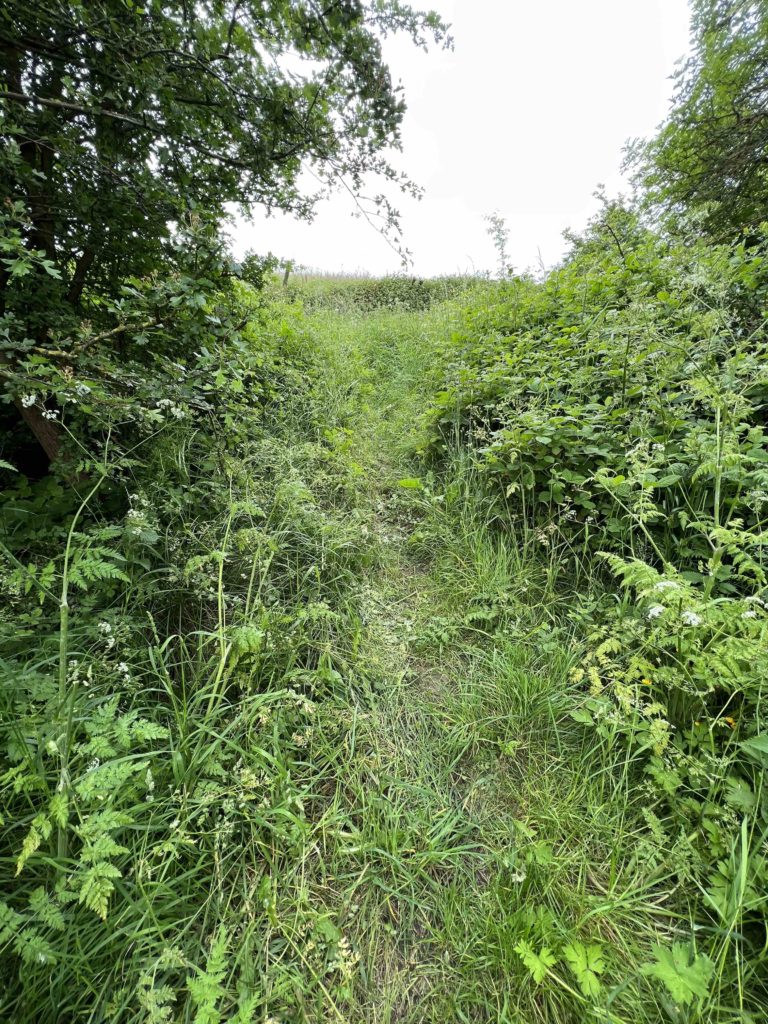
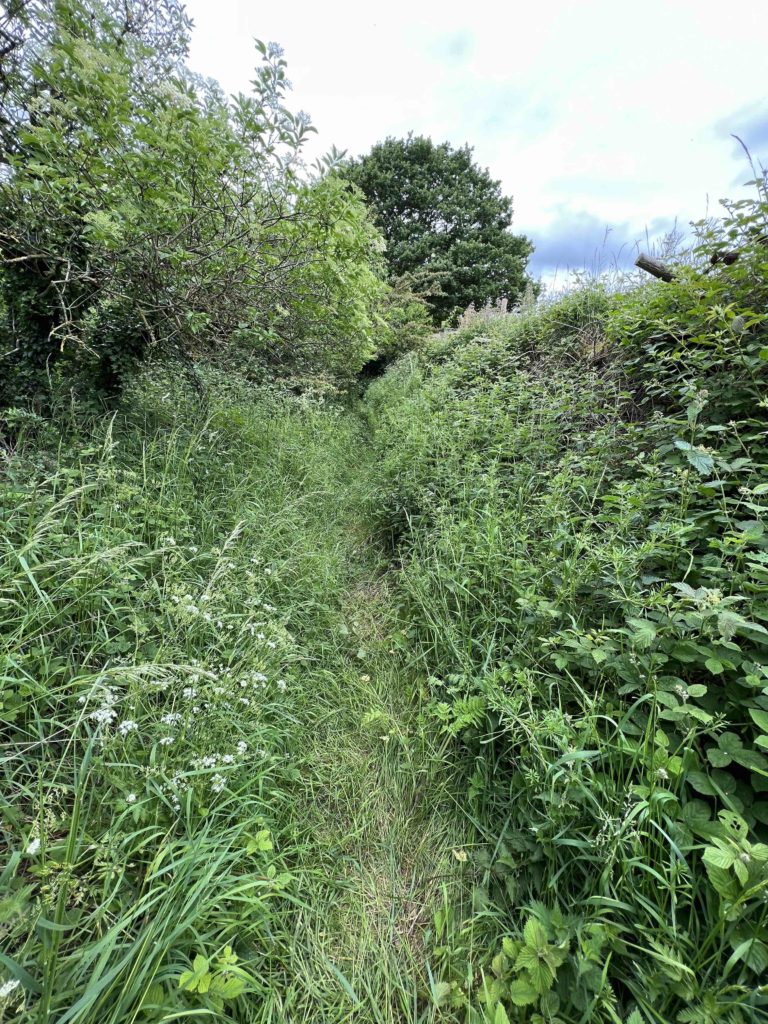
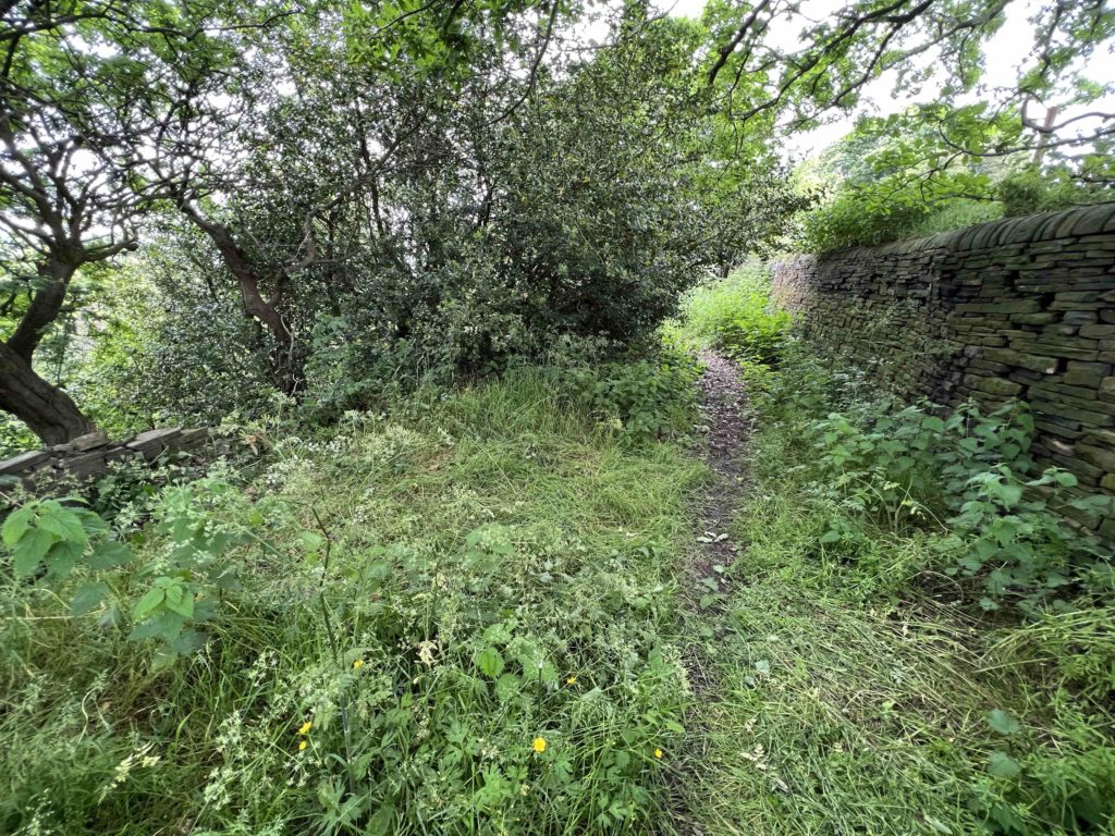
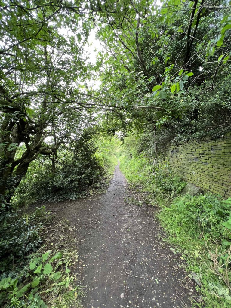
We started the walk at St. Matthew’s Church. There have been three churches here in the last six hundred and sixty years.

 The 1st Church dates from 1363 and was about 30 feet by 17. Worshippers mainly had to stand but there were a few  wooden benches. It had whitewashed walls and was about eight feet in height, with small, mullioned windows containing white, translucent glass in tiny panes. Its low pitched roof had open rafters and was covered with locally quarried stone slates.

In 1363 John-de-Bretton was appointed as the first Curate. The first church was built as a Chapel of Ease for St. Mary’s, Ellandwhich had been built in 1180.

Before the chapel at Rastrick was built, the local population had to journey to St. Mary’s over ’causeways decayed for want of repairing and foule in winter,’ so it wasn’t exactly a pleasant journey. Despite Rastrick getting its new chapel, the residents still had to travel to Elland to get married or for the burial of the dead.

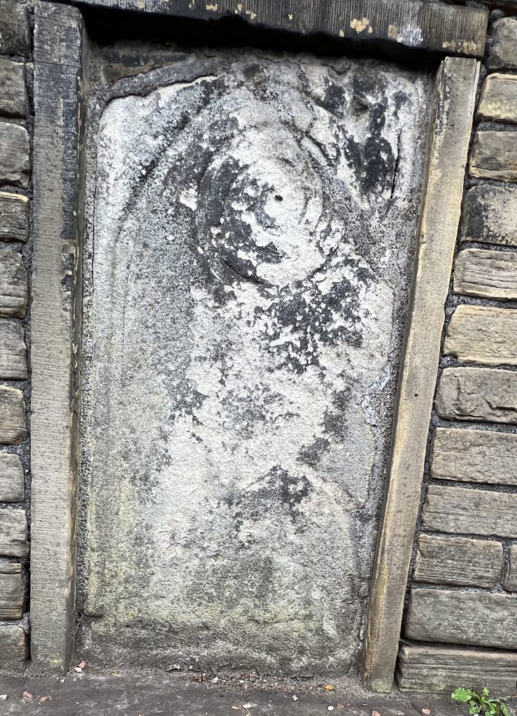
The chapel fell into decline as a result of the religious turmoil in the days of Henry VIII. First he was a devout Catholic but following the Pope’s refusal to annul his marriage to Catherine of Aragon, he established the Protestant Church of England. His daughter, Mary, became queen after Henry’s death but she was Catholic and had people burnt at the stake for their contrary beliefs and then after her came Queen Elizabeth I, who was Protestant. Religion in the country was in turmoil and in Rastrick, like many others in the country, people turned away from the church. The chapel became disused and was used as a barn at one stage. It was recovered in 1602 and was then demolished to make way for the second church.
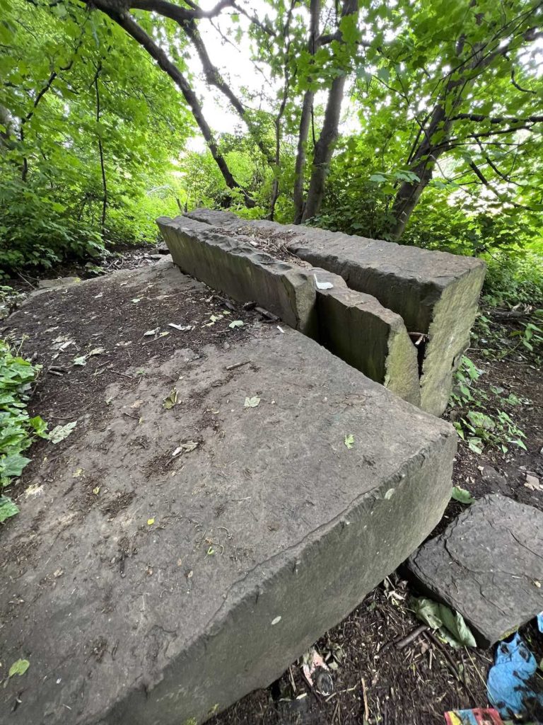
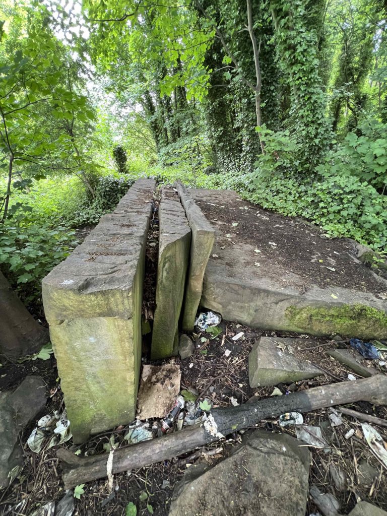
The 2nd Church

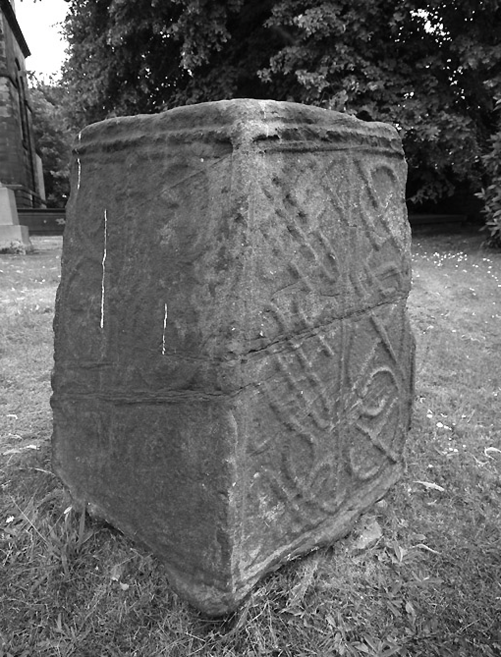
There are superb records regarding this chapel and the History of St. Matthew’s Church, written by Richard Kay is well worth a read.

Briefly, the stone was taken from a quarry in a croft owned by John Hanson in Rastrick and was brought to the building site on carts hauled by his oxen.

The detailed notes made at the time, which give exact measurements of the building, the costs involved and many of the names of the contractors and workmen. It was includes their rates of pay, however, the stone getters were paid with 3s 2d worth of ale each day but the records state that the workers were ‘given much more.’

The second church lasted for almost 200 years

 The 3rd Church

1798 – present

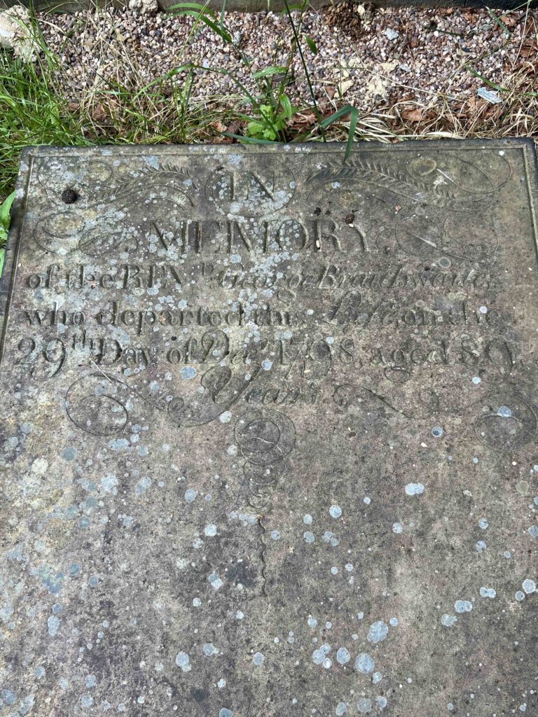
Around the year 1754, efforts were made to raise money for repairing the old chapel or erecting a new church. £120 was collected but nothing was done and the money was lent to a Mr Radcliffe at 4% compound interest.

By 1777 it was worth almost £214 but Radcliffe died. His wife remarried a Mr Gill who took on the loan at 4.5% compound interest until 1797 when it was worth £383-6s. It was in this year that the present church was started to be built.

The burial ground was consecrated on the 15th April, 1798

The original clock in the tower was installed around 1807, at a cost of £43, because the people of Rastrick had no way of knowing what time it was and were often either too early or too late for church services, which was described as a ‘great inconvenience”.

The report went on to say that ‘Work people constantly experience a disadvantage from not being able to ascertain the hour of the day and are consequently at a loss to know when to begin and when to leave off their work.

As a result, it was decided to ‘fix a clock in the steeple of Rastrick Chapel which would eradicate the inconvenience, and otherwise prove a valuable acquisition to this Town and Neighbourhood.

The present clock came from a church in Carlisle, replacing the original one in 1953 and was installed to Commemorate the Coronation of Queen Elizabeth II.

It is powered by a system of falling weights and needs to be wound by hand, every week.

The church bell is 19 inches in diameter and is believed to date from 1765. It is mounted in the tower but nowadays, only the hammer from the clock is used to strike the hour. The timber cradle supporting the bell has been deemed to be in need of renovation and therefore the bell has not been swung during the 21st century.

There is evidence of an early Christianity being present on the site of St Matthew’s Church from the 10th or 11th centuries in the form of a Saxon Cross base in the churchyard.

For those who have visited the nearby village of Hartshead, it is very similar to the Walton Cross at Hartshead Church.

It is wrought with knots and scrolls which are now very weathered and it has a hollow in the top of the stone. This was for the insertion of the cross. A very old manuscript refers to a cross outside the door of the first chapel of St Matthew  ‘And there stood in the street, nigh to the chapel doo,r one cross of stone, very finely graven with fretted work’.

Different types of Christian crosses were erected during the medieval period, mostly from the 9th to 15th centuries AD. This particular type was known as a wayside cross which was there to remind travellers of their Christian faith and was also there to reassure the traveller. They were also placed as way-markers on unmarked tracks, to guide travellers safely to their destination.

Across the road from the Saxon Cross is a strange looking three storey building. Part of it was occupied by Mrs Bott in the 1940’s – 50’s. She owned part of the large orchards that were located around the rear of the premises. It was there that the most succulent pears imaginable were grown on a commercial basis. It was also an ideal place where the miscreant young lads and lasses could go ‘scrumping’ and help themselves to the fruit. The more honest people would call in after school and Mrs Bott would fill their school caps with pears for a couple of pennies

On the above photo to the right is an old family friend, Leslie Hargreaves, who is pictured standing in the doorway of the modern photograph, at the top of the stairs. This was Leslie’s workshop where he carried out his joinery and undertakers business. It was started by his father, Wilfred just after the 1st World War.

Leslie used to tell of how he was wounded in the 2nd World War and spent time in hospital in Belgium before being transferred back to England for further treatment. He wasn’t wounded on the battlefield however, he was a passenger on a tram when it was hit by an army wagon that had been stolen by a drunken American GI. Leslie said that it may have saved his life because he took no further part in the war.

When he retired, he took up carving. They were mainly religious figures such as nativity scenes and angels but Leslie started to lose his sight and in his nineties, he had to give up working with wood, something that he had done from being a young child. I offered to buy his chisels and he said that he wished that I had asked him a few weeks earlier because he had given them to his grandson and upon visiting his house one day, he was horrified to see his grandson using the chisels as type levers on his mountain bike.

LOWER & UPPER GEORGE PUBS

Walk into the church car park and it was here that the Upper George public house once stood. It opened its doors in 1827 and closed in 1936. The last landlady was Lizzie Huggett. 

In Victorian times, it seemed to have been used, other than a pub, as a place where bodies were laid out and inquests into their deaths were held.

The Lower George (pictured right) was across the road on Jumble Dyke where its front door opened onto Raw Hill. It closed its doors for the last time in 1925. I have found mention of it in 1811 when farming land to the east of Round Hill was sold there at auction and in another auction in 1813, land at an area of Rastrick known as Spout was sold. This went on to become where the Helm family built Spout Mills which was another huge textile operation and employer in the Rastrick area.


HALIFAX COMMERCIAL BANK

Also on the opposite side of the road at the junction of Crowtrees Lane and Jumble Dyke is a building that was formerly the Halifax Commercial Bank. It opened in 1909 and merged with the Bank of Liverpool and Martins Bank in 1918 which became Martins Bank in 1928.

It was a strange little bank because it only opened on Tuesday and Friday, between the hours of 10:30am and 2:30pm.

It was mothballed in 1940 during the 2nd WW and never re-opened.

John Riley was the owner of a smithy at the bottom of Ogden Lane known as G. S. Whiteley (his father-in-law). He used the bank there in connection with his business and he would attend on a Friday to withdraw the wages for his employees. He didn’t stand on ceremony and went to the bank in his blacksmith’s attire, complete with leather apron but out of respect for the bank manager, he would always wear his bowler hat whenever he attended.

Turning left and walking up Crowtrees Lane, we come to the location of the ‘now and then’ photographs above. The textile mill in the photo on the right was known as Crowtrees Mill and was started in 1850 by Joseph Travis Clay. He was born in London in 1804 but came to live with his uncle at Rastrick House in 1813.

He was educated at Rishworth School and became a worsted spinner and cloth manufacturer at Crowtrees Mill.

Joseph exhibited at the Great Exhibition at the Crystal Palace in 1851 and made his fortune in textiles. He left almost £69,000 when he died in 1892, the equivalent of £6.12m today.

Following Joseph’s death, the business was carried on by other family members, Arthur Travis Clay, Hugh Travis Clay and John William Clay.

It was forced to close in 1934 due to financial reasons and was taken over by W.H. Sladdin from Brighouse.

Sladdins were shoulder pad manufacturers for ladies dresses and also for suits for both sexes but in WWII they diversified and made seats for the RAF aircraft.

The business closed in the late 60’s and the mill stood empty and was a local eyesore for several years before it was demolished in 1976.

ECCLESIASTICAL BOUNDARY STONE

Many people walk past this stone and don’t even give it a second thought but it is actually a Grade 2 listed monument with Historic England. The listing states:-

Much weathered gritstone monolith, built in to hammer-dressed stone wall, bearing spiral motif incised into the stone. This extends down the left hand side before running out to the left. This is reminiscent of a Bishop’s crozier and may mark an earlier ecclesiastical boundary. It is of similar character to the cross-base in St. Matthew’s Churchyard some 200m to the north and may be contemporary with it. If this is correct, it would place the stone in the 10th century.

RASTRICK LIBRARY

The library was opened on the 22nd  November 1912. The land was formerly part of Crowtrees House, owned by the Clay family who had made their fortune in textiles at Clay’s, Crowtrees Mill.

2,250 sq. yds of land was given by John William Clay and the money was donated by William Smith, a former mayor of Brighouse who had also made his fortune in textiles at John Smith’s mill, at Badger Hill, opposite the Sun Inn at Rastrick. The building included a house and garden for the librarian at the rear.

A cenotaph was added in 1920, commemorating the 128 Rastrick lads who lost their lives in WW1. Further names were added after WW2. The cost of the memorial was paid for by the Clay family.

A disabled access was added last year at a cost of £60,000. Disappointingly, the gardens are now overgrown with weeds but Calderdale Council assure us that the matter is in hand to bring them back to their former glory.

CROWTREES LANE

The road used to be a single carriageway (adjacent to the library) but in 1912, there was a suggestion of the road being used as a tramway.

Because there were various water mains and drains under the old road, a new section was needed as it was thought that the heavy trams and tracks could seriously damage them.

The idea was that the old road would be used for downhill traffic but the new road could be used for trams and uphill traffic.

Land was purchased from the Forbes-Robertson family for the new road. They were compensated not only for the land but for the value of the stone underneath it which they could have quarried, but which was highly unlikely to ever happen.

The early consultations hit a snag when the chief negotiator for the family, Captain Kenneth Forbes-Robertson was killed in Belgium in November 1914. His brother, Captain James Forbes-Robertson took over the negotiations and fortunately, he was like-minded but he was then wounded in the Dardanelles and shipped off to hospital in Alexandria, Egypt. An agreement was eventually reached but it took eight years between first discussing the scheme and the implementation.

In 1915, the Brighouse News commented at the time that if the scheme went ahead ‘it would be advantageous for motor cars and they need not, perhaps, be a bigger nuisance than they usually were’.

The work was eventually completed but it wasn’t until the 12th March 1923 that the first tram between Brighouse and Huddersfield, via Rastrick, trundled up this section of road. After all that time and effort, the trams only lasted for 17 years as trolley buses replaced them in 1940.

Crowtrees Lane was originally built in 1806 as part of the branch road of the Huddersfield and New Hey (near Rochdale) turnpike road.

The main road went down into Huddersfield from Outlane but the Rastrick branch travelled from Outlane, through Rastrick (hence the same name of New Hey Road in both Huddersfield and Rastrick), Crowtrees Lane, Ogden Lane, Rastrick Common and Bridge End where it linked up with the Elland to Leeds Turnpike (which came over Lower Edge), by the Star public house at Bridge End. The turnpike was abolished in 1874.

On the photograph above, you can see a part of the original road surface that was made up of local stone setts before being mainly covered in tarmac in later years.

CROWTREES LANE

The above photo shows the two carriageways on Crowtrees Lane. The houses on the right were all built after the new road was completed and date from the early 1920’s.

CROWTREES METHODIST CHAPEL

On the above photo on the right, the old layout of Crowtrees Lane is clearly shown with Crowtrees Chapel just behind the house with the double fronted gable.

The chapel (shown left above) opened in 1864 but closed in 1969 after the roof timbers were found to have developed dry-rot and was declared unsafe. The church was invited to hold their services at St Matthews and they officially share that church now with the Anglicans.

We now cross over the road onto Carr Green Lane.

CARR GREEN SCHOOL 

Carr Green Board School opened 1912 after moving from New Road Sunday School. Around the same time, the day school at St. Matthews also closed and the pupils were relocated at Carr Green. 

The building cost £5,000 and was designed to accommodate 350 junior boys and girls together with 160 infants. I have a very interesting book which was found on a council tip and was given to me a few years ago. It is the Headteachers Log Book from 1881 to 1943 and covers the time when the new school opened.

Carr Green closed in 1977 when a new school was built further down Carr Green Lane.

The building then became a Care Home for the elderly but it was forcibly closed in 2015 after a damning report about the conditions by the Care Quality Commission.

CARR GREEN SCHOOL 

The above two photographs show the doors of the former boys and girls entrances to the school. The building has deteriorated rather quickly since it ceased to be used and is now in a very dilapidated condition. There do not appear to be any plans to develop it at this present time.

WENTWORTH COURT

A modern housing estate built on the field where the Rastrick Rangers rugby team used to play its games. Football was also played on the pitch and the photo to the right above shows a young Herbert Blackburn (2nd from right, back row) on that field. Herbert was the father of my great aunt, Hilda Bottomley. He was born in 1869 and the photo was taken around 1890. 

THE TRIANGLE

Further along Carr Green Lane, new houses have been recently completed on a plot of land that is triangular in shape. It has had various uses over the years and once housed some outbuildings where the cemetery workers kept their equipment. It is thought that it was also used as a pinfold, an area of land where stray cattle were taken by the pinder and kept until they were claimed by the owner who would have to pay a small fee to have them released back to him. The track to the right is one of the many delvers tracks in the area, where stone was taken from the quarries by horse and cart. It leads into the fields below Round Hill but also bends around the rear of the cemetery wall towards the old hillside quarries in the Toothill embankment.

CARR GREEN CEMETERY

In 1881, there were concerns that the churchyard at St. Matthews was becoming overcrowded and a new graveyard was needed.

Prior to the amalgamation, when the Brighouse Council was created in 1893, Rastrick was run by The Rastrick Board.

It set up the Rastrick Burial Board who purchased 6 acres of land at Carr Green for a new cemetery. A chapel was built, though is now sadly boarded up and used for storage. The cemetery was completed in 1883 and is still being used today.

DELVERS TRACK

At the very end of Carr Green Lane, two stone gate posts stand upright amongst the weeds and broken down wall. This was the original entrance to Quarry Road, a delvers track upon which stone was taken from the quarries in this area. The track turns to the left a little further down and leads down to the bottom of Toothill Bank, opposite to the Rastrick Bowling Club. From there, the stone would have been taken to Brighouse where it was loaded onto barges in the canal basin or, after 1840, onto trains in the new railway station goods yard.

CARR GREEN PLAYING FIELDS

Our walk takes us into the playing fields on the right, at the bottom of Carr Green Lane. From here, we walk down past the children playground and the football pitch into the bottom left corner of the field.

In the bottom left corner of the field, we go straight ahead, keeping the drystone wall to our right. For many years, Gordon Riach kept pigs in the field to the right.

After a few metres, we reach a small bridge which crosses over the stream.

On the opposite side of the bridge, walk up the slope and turn right, keeping the Toothill hillside to the left and the stream to the right.

Eventually, you will encounter a broken gate where you can practise your best limbo dancing technique to get underneath it, but BE CAREFUL.

Because the gate has a nasty little sharp piece of broken metal that will hurt if you catch your head on it or it could rip your clothing, if caught upon it.

Keep walking straight ahead until you reach a crossing point in the stream where there are several stepping stones

The stream doesn’t look to have any importance but lower down Quarry Road, it sinks underground. In the late 1960’s, when the old cottages on Quarry Road were being demolished, a waterwheel was discovered under the stone flagged floor of one of the houses. It was powered by this stream and the house was found to have been used as a tannery in the early 1800’s.

From there, the stream flows under the bottom of Ogden Lane and across Castlefields Golf Club. As it travelled down the valley, it used to fill the mill dam at Rosemary Works, the home of  Walshaw Drakes, dyers and finishers. That area is now modern housing and the stream has been culverted beneath.

At Brook Grain Hill, another stream, coming down from above Ainley Top, meets up with this one before heading down under Bramston Street Recreation Ground and eventually emptying into the River Calder at Bridge End.

SHOOTING RANGE

Still at this location by the stream, look to the left where you will see a raised mound of earth, covered in grass and beside a hawthorn tree. There used to be a firing range here which was used by a private shooting club and the Territorial Reservists from before the 1st WW up to the 1950’s.

The range had staggered firing points from 600 yds, which was near to the White House on Toothill Bank, up to 100 yds from the targets which were in the hillside just below where the M62 is now located.

It is hard to envisage today because of the many trees in the area but old maps (1905 above) show that the firing points were all located close to a contour line that is 425 ft above sea level. This suggests that there was an almost level firing line from Toothill Bank, all the way to the targets, 600 yards away.

The reason that I mention the mound of earth is that some friends and I identified this from GPS co-ordinates as being the exact spot of the 200 yds firing point which is shown on the map.

Many local reservist soldiers would have practised their shooting skills with .303 calibre Lee Enfield rifles on this exact mound of earth. Many will have gone on to fight in the two world wars.

When I first wrote about this in another section of this website, a few men in their late 70’s, contacted me and told of how they used to dig the lead bullets out of the hillside behind the targets, when they were young lads.

QUARRYING

We will talk about the quarries later on this walk but in the early days of quarrying, before there was the technology to sink vertical shafts, men worked as Barers. This job entailed stripping off the overburden to get to the stone underneath. When the stone was revealed, the delvers would lever it out, using huge iron crowbars along the fault lines of the stone.

The barer’s job was horrendous, they were out in all weathers, digging through the clay and rubble, often to depths of a couple of metres. There were very few supports for the walls which often collapsed onto the barer, causing serious injury.

On occasions, the men weren’t so lucky and they were buried beneath the spoil and were dead by the time they were dug out.

On the 24th February 1874, one such accident occurred when George Bedford, 47 years of age and who lived in one of the old cottages at the bottom of Toothill Bank, was working on the hillside when it collapsed onto him.

The force smashed his head against a wheelbarrow before buying him under about seven feet of clay. The newspaper report said that ‘he was dug out as quickly as possible but was found to be quite dead.’

We will meet George again, later in the walk but for now, continue along the path and start the steady climb diagonally across the hillside.

Upon reaching the top of the path, go through the hedgerow of the field boundary and turn to the right.

Continue straight ahead towards the M62 motorway. You will hear the noise of the traffic despite the fields looking as though the area should be a haven of tranquility.

Upon nearing the hedgerow in front of you, the track veers to the left and rises steadily up this field towards a wall and a higher field in the distance. This field is named on the 1824 map of Rastrick as Lower High Field.

As you approach the wall, the walk route would normally take you through the gate into the next field but the gate has been tied with barbed wire and other than climbing over the top, there is no way through. 

The distant wall was part of an ancient packhorse route known locally as New Dick. Its official title is Toothill Lane but since the M62 bisected it in the early 70’s, the western section near to the Four Sons / Clough House Inn has been known as Toothill Lane South, but for me and many other Rastrickians, it will always be New Dick.

No-one knows exactly from where the name derives, however, my take on it is this:-

It is from a Northern Middle English word, Dyke, which was another word for a ditch. Similar words could be found:-

In Old Norse – Diki

Middle Dutch – Dijk

Middle Low German – Dik

As time and languages developed, the word went on to mean a wall, dam, an embankment, or a raised causeway.

The word ’causeway’ was derived from the old Northern French word, ‘caucee’, which was a route or highway, usually above water, marshland or other such obstacles.

New Dick is one such route. It travels above the marsh ground below and was obviously dug out of the hillside for the specific purpose of creating a highway.

It would have originally been a small hollowed out ditch with earth bankings on both sides so that the horses and carriages didn’t disappear over the edge in inclement weather. These earth banks were later replaced by more substantial stone walls, made up of the spoil from the quarrying in the hillside below.

This could date the track to the middle ages but it was certainly around in the late 1600’s when John Ovilby created maps of this area.

Because we couldn’t get into the field above New Dick, Plan B kicked in and so our new route takes us to the left.

Turn around for a few seconds to catch a glimpse of the stunning view over towards Round Hill. The buttercups are in full bloom and the first cut for silage has been completed in the fields that were known as the Murgatroyds, 200 years ago. The silage bails are dotted around, wrapped in black polythene.

Continuing along this path, we have the old hedgerow of New Dick to the right and Round Hill to the left. After around 100 metres you will notice a couple of stone flags in the path beside a large hawthorn tree on the right. Turn right immediately after this tree.

It isn’t a proper track at the moment but I think that it will eventually become one as more people walk this route because it seems to be the only access onto this section of New Dick at the motorway end of the old highway.

Walk up into the gap between the trees, taking care not to get caught out by the abundance of blackberry and nettles and then turn left along New Dick.

At this time of year it is quite overgrown and it was in this area where I had to make a clearance of the path with my secateurs and shears but it is still relatively easy to get through. I made the mistake of wearing shorts and received a few nettle stings for my efforts. 

You eventually come to a clearing where you can see the walls on each side of New Dick. This gives you an idea of the width of this once important route between Lancashire and Yorkshire. The wall on the right hand side has the higher field, known as Lower High Field, on the other side. Prior to the wall being built around the 1840’s, the natural slope upwards would have created a natural safety barrier for the horses and carriages but on the left side, it was a different matter. As can be seen in the top photo of the two pictures above, it is a steep drop and it would not have been advisable for traffic to go too near the edge. This is the reason why, as stated earlier, the road was created as a type of ditch or dyke, with a small banking on the side, to prevent such accidents. Eventually the thinner stones from the quarries were used to build dry-stone walls. These stones  were a bi-product from the quarries and were not suitable for roof slates or building houses but ideal for walling. That is the reason why we have so many dry-stone walls in this area.

A little further along the track you will come to a gate that blocks the way but fear not !

Because if you look to the left hand side, there is sufficient room to squeeze past.

HORSE TROUGH

On the other side of the gate is a wonderful horse trough. There is no known date for this watering hole but it is shown on some early maps of Rastrick and judging by the ornate stonework, it was an important place.

The left hand trough is fed by a pipe from an ancient field drain. When this trough fills, it overflows into the right hand trough which is positioned slightly lower.

Just beyond the troughs there are some steps in the wall to the right which lead into the Lower High Field. At the top of the steps is a stone stile which is the subject of a Rastrick legend.

ASA FARRAR

The name of Asa Farrar is known by generations of Rastrick folk and many legends have been created about the man, simply because he carved his name onto this stone stile.

ASA FARRAR (the ‘S’ is the wrong way around)

OC 9TH 1859 (there is an extended curl on the number 9 in the year date).

Stories abound and one that I was certainly brought up with was that Asa Farrar was highwayman and this was the scene of his last attempt to hold up a horse drawn coach.

He was brought down off his horse as the coach driver defended himself and he was hanged from a tree at this spot and then later buried. This is his supposed gravestone.

His spirit still roams New Dick at full moon.

Another story was that Asa Farrar hung himself here after carving his name on the stone, because he was suffering from depression !

From my research, Asa Farrar was born in 1836 at Rastrick and baptised at St. Matthews. In 1851 he lived with his parents at Oaks Green and was employed as a weaver.

In 1858, he married Hannah Idle from Lindley and so in 1859, the year on the stone, he was newly married and should have been enjoying some of the happiest days of his life.

In 1861, the couple had a son, Squire Farrar. The couple went on to produce five children.

His brother went to live in Delph, Lancashire and on one of Asa’s visits in 1864, he and his brother were drunk after an evening out. On their way home, they came across the landlord of a local beer-house who was returning from tending to a sick cow.

They tried to persuade the landlord to re-open his pub for them to continue drinking but the landlord refused and called the police.

The Constable told Asa and his brother that he was surprised at their condition, especially as it was the early hours of the Sabbath. Asa told the officer he would do what he pleased and ended up assaulting him. Asa was arrested and fined for his misdemeanour.

By 1881, he was living at Lower Edge and working as a gardener but there must have been some truth in the suicide story because on the 26th June 1908, at the age of 72, Asa was reported to have tried to take his own life for the third time, two by hanging and once by cutting himself with a razor.

He had been unsuccessful on each occasion but something must have happened because ten days later, the 6th July that same year, Asa was buried at Elland churchyard.

There are no reports into how he died, perhaps he did finally commit suicide, which leads to the question….. is there any truth in the story that Asa Farrar tried to hang himself on New Dick in 1859 ?

We return back onto New Dick and at this point it is worth noting the stones which were exposed after the heavy rains on Boxing Day 2015, which caused such devastation around the river and canal areas in this region. The stones are part of the early road surface, again proof that this highway wasn’t just some ordinary cart track but was originally of some importance.

Take a look at the dry-stone wall along New Dick as you make your way towards Toothill. It has been there for around 175 years and in some parts, it looks as good as the day it was built. Some of this fine quality sandstone is tinged with an array of colours, mainly yellows, reds  and oranges which show the differing amounts of iron ore content within the stone.

It is also worth pausing at the metal gate on the left of the track as the views over towards the hills of Southowram are spectacular. Over to the right of the photo, views towards Hipperholme and Odsal Top are also impressive and if you look very carefully, you can just see the top of Wainhouse Tower in Halifax.

Continue under the overhanging branches of the trees, towards Toothill.

Just prior to reaching the top of Toothill Bank, there is another obstacle to negotiate but during recent years, this has been very good at stopping scramble bikes from using the track and churning up the path. A few years ago, the path was horrendous during the winter because of the mud created by these bikes.

It was at the end of the New Dick where traffic could either head down Toothill Bank towards Brighouse and cross the Calder via the ford at Snake Hill (Before the Huddersfield to Bradford Road was created in 1823) or traffic could go along Toothill Lane towards Deighton via Shepherds Thorn Lane.

At the top of Toothill Bank you will see an electricity sub station. You can cross into the field on either side of it. The path to the right seems to have been made quite recently by people who don’t like the large step on the other side of the stile on the left.

Once in the field, take a moment to look at the scenery before you. The photo above is looking towards Round Hill and the M62 motorway with Carr Green Playing Fields in the bottom.

Whilst at this location, look straight ahead and compare the scene to how it looked around 70 years ago.

The older photo must have been taken just prior to the quarry closing in 1955 because the houses at the rear are on Holly Bank Road and they weren’t built until 1952.

Note the Stiff-Legged Derrick Cranes in the quarry. The jibs were built by Bradley’s Engineering, just down the road at Gooder Lane. 

The neat rows of prefabs have long since disappeared but I can just about remember them from my early days.

Crowtrees Mill, which we visited at the start of the walk is the building on the right centre with the dark mill chimney.

To get to the bottom of the hillside, there is the option of going vertically down but you need to be fairly sure of foot to do this. The alternative is to head to the right and follow the path.

Eventually, you will come to a hairpin bend. Do not go straight ahead at this point but take the hairpin to the left. This takes you diagonally down to a point below where you first started at the end of New Dick.

This pathway takes you above the hillside quarry escarpment. In the blackberry season there are some lovely juicy berries on the right side of this path but there is a danger of leaning out too far to get to that elusive big juicy berry. One step too far and you could find yourself falling in the hidden quarry below.

You know you are almost at the bottom when you see the field ahead of you and the old stone fence post on the right of the path. There are still several examples of this type of virtually immovable post around Rastrick. It is hard to imagine the amount of work that was involved to create such a thing. Surely it would have been so much easier to make a wooden post to support the fencing rails but the person who made this, meant for it to survive the test of time.

Turn right at the end of the path and head down the field, in the direction of Carr Green and the bridge over the stream, which we crossed earlier.

Instead of crossing the bridge over the stream, turn to the right and walk along the bottom edge of the field keeping Toothill Bank to the right.

Looking to the left, you will see the two adjacent stone walls of Quarry Road, the track that the delvers used to take the stone from the quarries to the bottom of Toothill Bank and then into Brighouse. At this time of year it is completely overgrown with ferns and weeds.

Look to the right and you will see the old quarry escarpment, now overgrown with trees and the embankment up to the road on Toothill Bank with Long Ridge above.

Follow the path along the bottom of the field.

Eventually you will reach a wooden stile in the hedgerow on the left.

The stile is not the easiest thing to negotiate because there is a small wall on the other side so great care is needed at this point.

Once you reach the bottom of the wall, you are in the middle of Quarry Road. The path straight ahead leads down to Toothill Bank but we are not taking this route.

Instead, we are cutting through a gap in the wall on the left and going up between the trees.

Once through the trees, we are faced with a small hill which leads up to the Carr Green School fields.

At the top of the slope, keep the field boundary edge to the right and walk straight ahead towards where the prefab houses were once located.

This large field area is now the sports field for the school, with several football pitches. It is hard to believe that this was once the heart of the Southage Quarry, where vertical shafts were dug through the sandstone and many thousands of tons of stone were hauled through the tunnels and brought up to the surface.

Beneath your feet, there will be several hundred metres of flooded tunnels where the stone miners once worked in cramped and dangerous conditions. 

Part of the way along the hedgerow, there is a gap which leads down onto another path.

This path leads through paddocks where horses are grazing on both sides.

At the end of the paddocks, the path splits into two. Take the left hand path.

Continue straight ahead until you come to a small clearing on the left.

In this clearing are some enormous stones which were used as supports for the rear legs of the derrick cranes which were used in a nearby shaft.  

From the stones, continue ahead, along the path towards Ogden Lane.

Eventually you will reach Ogden Lane, emerging onto the road opposite the former grammar school.

OGDEN LANE

In the above ‘now and then’ photos, you can see the buildings opposite. The bottom building by the ‘left hand bend’ sign was occupied by the Rastrick Board. The Board was the name for what was the local council prior to the amalgamation with the new Brighouse Council in 1893. As now, Board members were elected by members of the public who were entitled to vote. They were usually businessmen or local mill owners, which led to suspicion that some of the decisions that were made, were done so to  advantage themselves or their own businesses. Surely not !

Many people will walk past this anomaly in the wall at the end of Stackgarth. It was obviously a former opening at some stage but what was it ?

It was the former entrance to the ‘pokey’ which was where the Rastrick Police Constable would take drunkards and miscreants. He would leave them in this cold, dark, damp space to ponder overnight upon the error of their ways. Sometimes they were released without charge in the hope that they had learned their lesson or they were taken to Halifax to face the wrath of the Magistrates during the next morning.

RASTRICK GRAMMAR SCHOOL

Rastrick Grammar School was founded in 1621 when John Hanson left 20 shillings for ‘the teaching of a school.’

In 1722, Mary Law left land and property to endow the school and a building was completed soon afterwards. It was rebuilt in 1804 at a cost of £207 whereupon the school grew steadily over the ensuing years, eventually achieving grammar school status under Mr Storr (headmaster 1860-1891).

The school merged with Reins Wood School in 1985 whereupon Rastrick High School was formed and the grammar school was closed.

It re-opened as the private Rastrick Independent School but closed recently when the owner liquidated the business.

Planning permission has been recently approved to knock down some parts of the building and convert it into apartments along with some private houses in what was the playground.

TOP OF TOWN

I have already mentioned the Upper and Lower George pubs but in addition there was the Thornhill Arms, the Liberal Club and the Constitutional Club, the latter is the only one to survive.

The Thornhill Arms (pictured above) closed as a public house in 1938. The rectangle of cleaner stonework above the front door was once adorned with the Thornhill family coat of arms. It was the place where over 100 tenant farmers would converge around Christmas time to pay their annual rent to the Steward from Thornhill Estates, after which, everyone sat down to a hearty meal. Many local societies also held dinners there and the upper room was capable of housing up to 300 diners.

In recent times, the building became the Cottage Old Peoples Home but like several others in the area (such as Carr Green) it was forced to close and has recently been bought and converted into private apartments.

CO-OPERATIVE BUILDINGS

The original Co-op was acquired in 1876 and was located to the right of the Enigmas premises on the photograph. It was quite an old building when acquired by the Co-op and was considered inadequate from the start. However, it was almost 30 years before the old building was demolished and new premises built. The site of the old Co-op is now a car park for the residents of Grammar School Place.

The current building was erected as a replacement at the end of the 19th century but closed as a Co-op in the early 1970’s. It has had various functions since closure but there is still the word DRAPERY in mosaic tiles at the entrance to one of the shops, as can be seen in the photo below.

ST. MATTHEWS CHURCHYARD

If you enter the churchyard via the first gateway on Church Street, head around the left side of the church and past the first couple of gravestones located just under the gable wall of the church building.  You will there find the grave of the Rev. George Braithwaite who died in 1798.

George had fallen foul of the church authorities in his early career when he was brought before the Archdeacon in 1766 for ‘failing to perform divine service, guilty of great profaneness and immorality in drinking to excess, playing cards in public houses and guilty of fornication with Mercy Lacey, singlewoman.’

George went on to atone for his early misdemeanours as it was he who was instrumental in the building of the current church which opened just before he died. He was one of the first people to be buried in the churchyard after it had been consecrated earlier that year.

THE GRAVE OF GEORGE BEDFORD

To end our walk, we head across the rear of the church towards the left corner of the old yard. Here we can locate an unmarked grave in Plot J37. The exact location can be identified by the names on the surrounding gravestones which have known plot numbers.

Plot J37 is the final resting place of George Bedford and his family who we discussed earlier as being killed whilst working as a barer in the quarry of the Toothill Bank slopes in 1874.

George was married with nine children but eight of them had died in infancy prior to George’s death. All of the children and their father were buried here in this same grave at Plot J37.

George’s widow, Catharine, was committed to the Halifax Union Workhouse in 1891 as a pauper inmate and the following year, unsurprisingly, she showed signs of mental illness and was committed to the West Riding Pauper Lunatic Asylum at Stanley, Wakefield where she died on the 4th May 1893.

Catherine was also buried in this grave along with her husband and children. As you can see, the grave is surrounded by some ornate memorials to the more wealthy inhabitants of the Township but there is no gravestone to mark the Bedford family names, however, their names live on in this story.

This sad story ends our virtual walk. I hope you have enjoyed the journey.

Lots of the research contained within these stories is obtained from old online newspapers and websites such as ancestry, which all come at a price. Any donations are welcome, no matter how small, to keep the website going and to pay for the subscription websites. Please follow the link on the Home Page. Thank you.
Andy Eccles