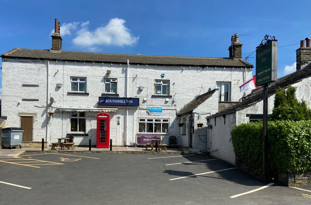
This walk starts at The Roundhill Inn, Clough Lane, Rastrick. It goes around the Rastrick Cricket Club field to the top of Round Hill before rejoining the main road, under the M62 and up to the Four Sons public house. It then heads along the ancient coaching road known locally as New Dick, or to give it the correct name, Toothill Lane South. It then travels on a footpath over pleasant fields and over the M62 footbridge before re-joining New Dick. The route continues onto Toothill Bank, down the fields past the old quarry to Carr Green recreation ground, taking in old delvers tracks. It then crosses the stream in the valley before following a path through the old shooting range back up to the M62 bridge, returning to The Four Sons via different paths.
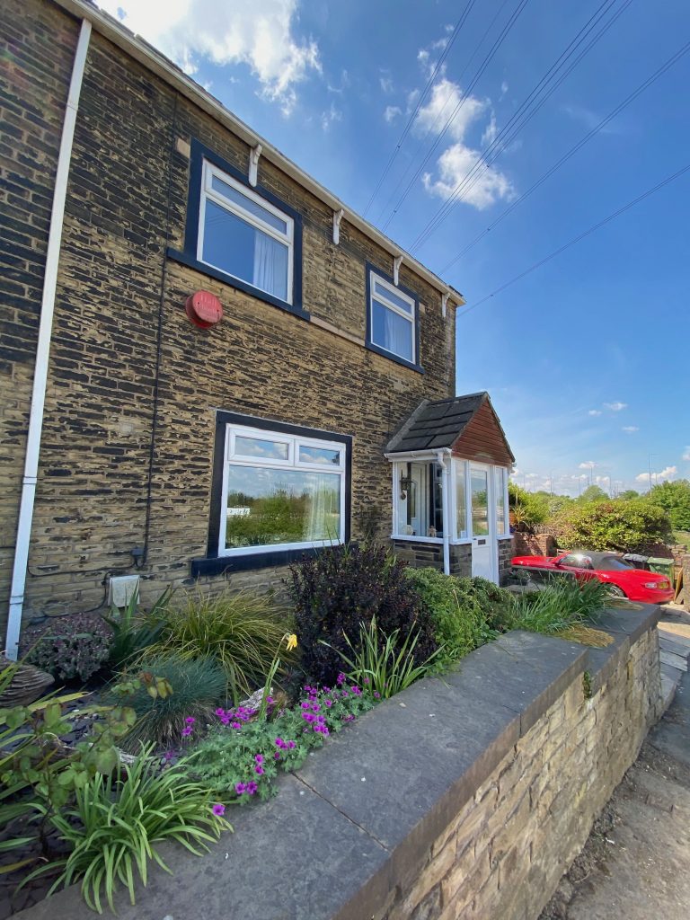
This virtual walk commences at the Roundhill Inn. The main road was described by John Ogilvy in his 1675 map as part of the London Road from Chester but the reality is that this was but just one of several ways that a traveller could have journeyed between the two cities. In 1759 it was made into the Elland to Dewsbury turnpike road meaning that travellers had to pay tolls to use it. The Roundhill dates from the very early 1800’s but was originally very much smaller. It has been extended over the years by knocking through into the adjoining cottage and barn.
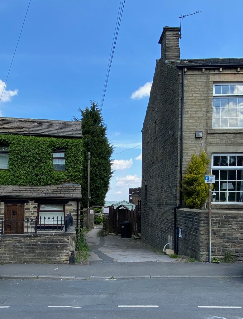
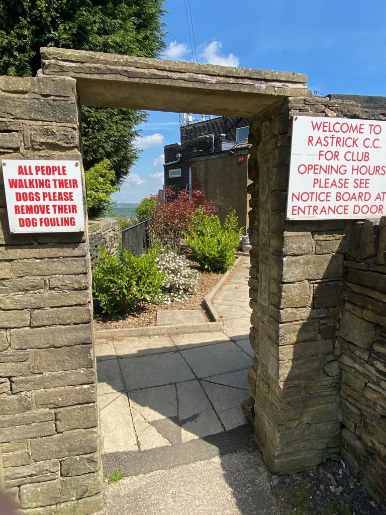
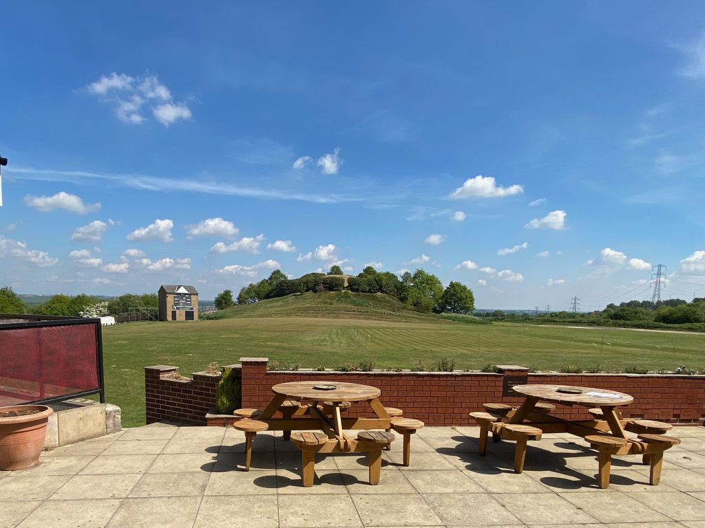
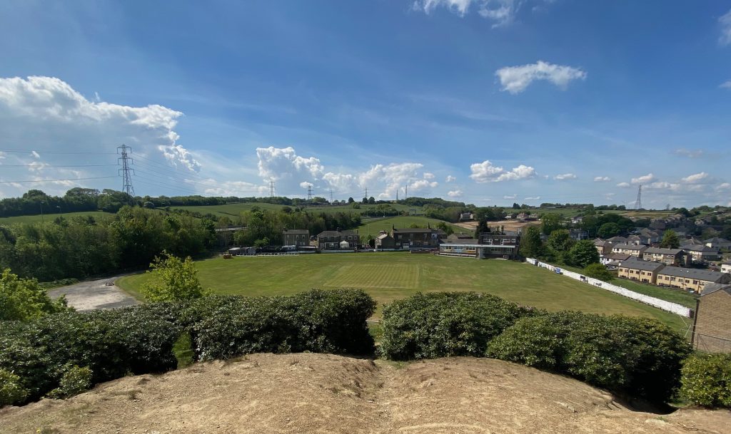
Walking down a narrow path between the two houses to the left of the Roundhill Inn (top left) brings you to the gateway entrance to the grounds of Rastrick Cricket Club (top right). Follow the path around to the right of the clubhouse where you are met with a fine view of the pitch and the unique backdrop of the Round Hill beyond. The cricket club was established in 1863 though there is a record of a cricket match involving a Rastrick team in 1860. This took place at Grantham Park on Dewsbury Road. The cricket club was the location of coronation celebrations for King Edward VII in 1902 and King George V in 1911. In 1902, a massive bonfire was lit on the hill whilst in 1911, there was the addition of an ox roast. My great grandfather was the secretary of the bonfire committee for both celebrations and full details of the events are available on this website via this link.
After walking around the perimeter of the cricket field and past the score box, it is possible to walk up to the summit of Round Hill or t’top o’t’lump as my grandfather would call it. The pathway passes between rhododendron bushes which encircle the mound. These were planted in 1912 by Mr. Arthur Charles Lane who became headmaster at Carr Green School and grandfather of Charles Squire who many will remember from Squire’s Bakery at Briggate, Brighouse. Mr. Lane planted them to try and stop the erosion of the clay which has worked to some degree.
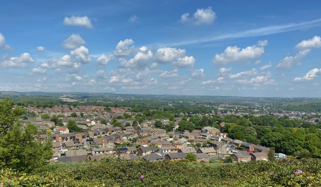
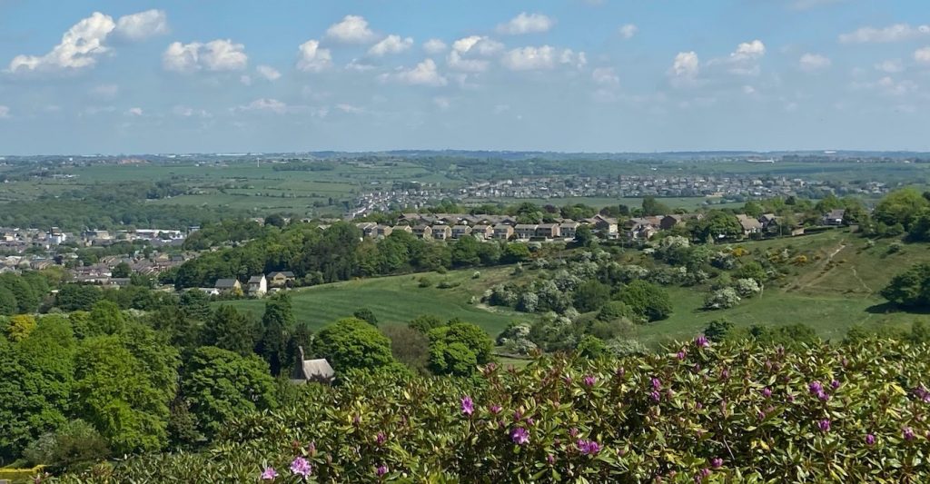
At the top of Round Hill, the 360 degree views are excellent, especially on a clear day. The above photograph is looking across to Toothill Bank. The row of houses beyond the trees is Long Ridge, part of the Lyndhurst Avenue estate. Clifton, Hartshead and Hightown lie beyond.
The ashes of many former Rastrick residents have been scattered on top of Round Hill over the years. Could we add to the many local myths and legends by making up stories of seeing ghostly figures wandering between the rhododendron bushes?
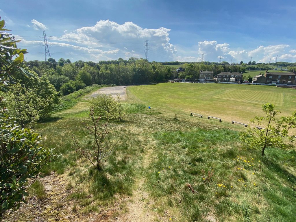
Upon leaving the summit of Round Hill, follow a path back down to the cricket field and leave via a gate on the eastern side that leads back into Clough Lane, on the left of the above photograph. Turning left, the route will take you under the M62 bridge and up towards the Four Sons public house.
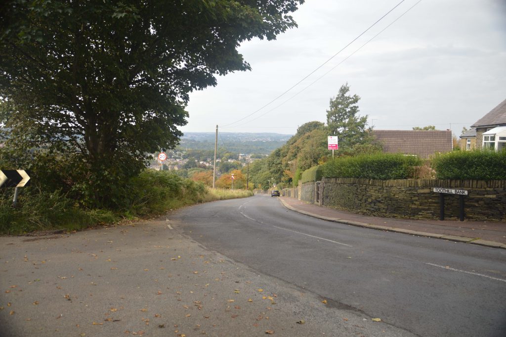
Just prior to the pub, on the right hand side, the bottom house is called Turnpike Cottage. At this location there was a chain across the road at what was known as the toll bar. Travellers had to stop at the toll bar and pay their dues in order to continue along the turnpike road. As mentioned earlier, this road was turnpiked in 1759 and the current owner of Turnpike Cottage told me that the building dates from the 1750’s. It could therefore have been built for the specific purpose of being the toll bar house when the road opened. Further research however, has revealed that the adjoining house at 118, Clough Lane is the original building and 120 (Turnpike Cottage) is a slightly later addition. Another anomaly to the story is that some of the old maps of the area have the toll booth for the turnpike as being near to Lightridge Road therefore if anyone has any further information about the turnpike location, could they let me know via the ‘Contacts’ page of this website.
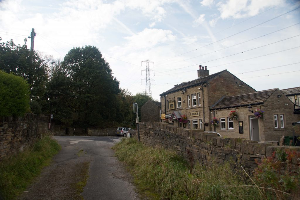
Just a few metres further up the road and returning to the left hand side of the road is the The Four Sons Inn. It was, until recent times, known as The Clough House but in the 19th century, it went under the name of the White Lion. It was in this pub in 1824 that a young Rastrick lad by the name of James Diggles called in for a drink with two friends and upon leaving to walk down New Dick towards Toothill he was murdered. The full story can be read under ‘Rastrick Murders – The Murder of James Diggles’ on this website
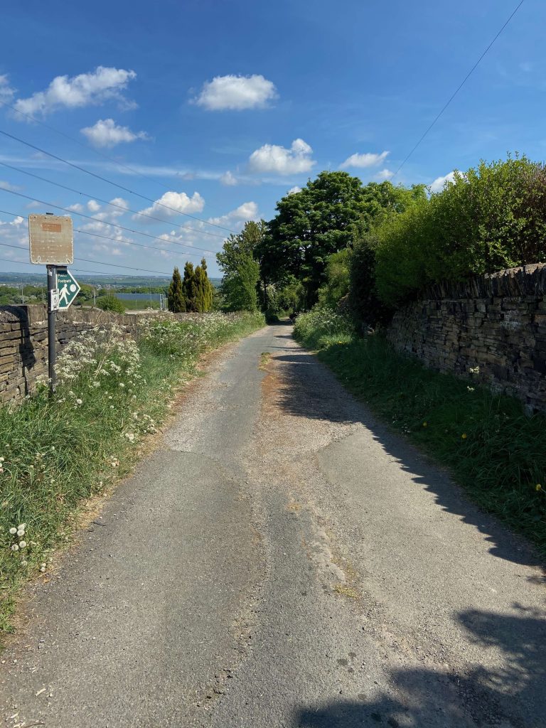
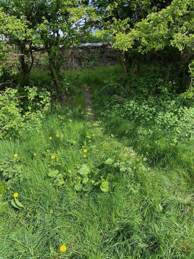
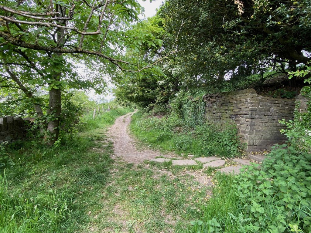
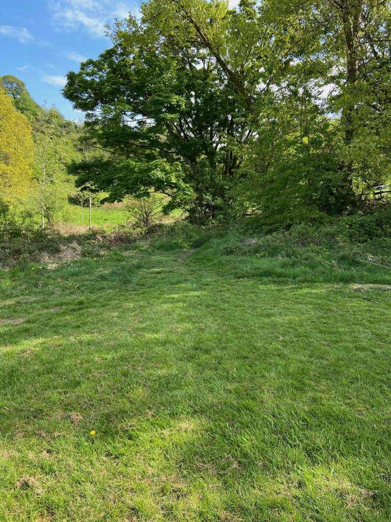
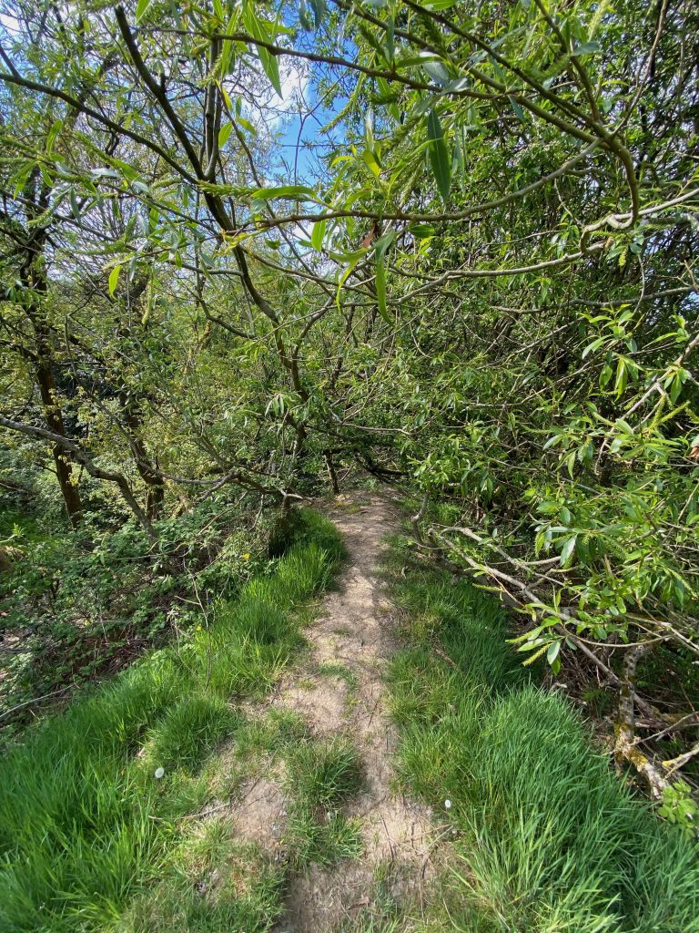
Immediately after the Four Sons, our route makes a left turn onto Toothill Lane South, which is the start of the old track known as New Dick.
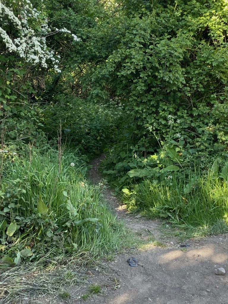
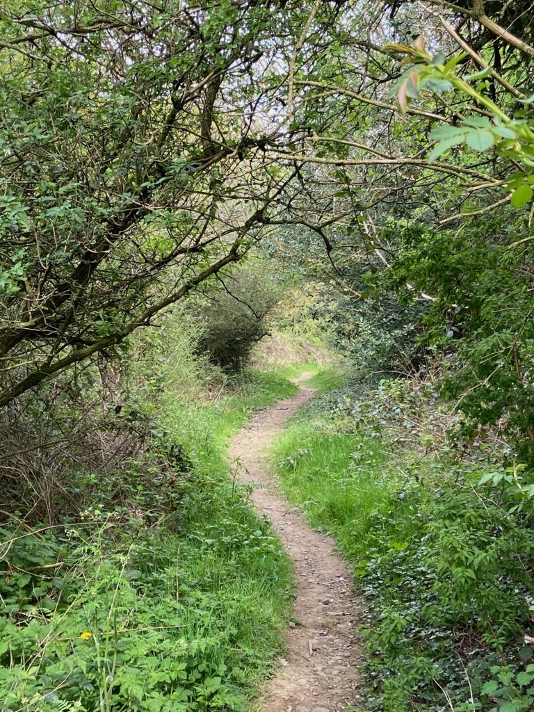
Follow the road down until after the last house on the right. Here, the track bears right into a large entrance to a field but ignore that and take the narrow path into the trees (above). Some people think it is inaccessible but I can assure you that it isn’t. Do not be tempted to go into the field. Head along the narrow path between the trees with the M62 to the left. The dry-stone walls of the old highway are evident in places on either side.
The path meanders down between the hedgerows on either side (above left) and occasional glimpses of the M62 come into view between the trees. It is hard to believe that this was once the major coaching route for horse drawn traffic between Huddersfield, Brighouse and beyond prior to the building of the main A641 Huddersfield to Bradford Road that we use nowadays. That was completed in 1824 but because the new road was a turnpike, New Dick continued to be a popular highway because it was toll free….. and this is Yorkshire after all.
New Dick was a through route to the top of Toothill Bank but after the abolition of the Huddersfield and Bradford turnpike on the 31st October 1875, its use diminished gradually. By the 2nd WW, it was hardly used by any motor vehicles other than agricultural traffic and the final death knell came with the building of the M62 motorway in the early 1970’s. This road bisected New Dick and made through journeys almost impossible although a bridge was erected to allow farm traffic to access the fields on either side but this has since become a footbridge only.
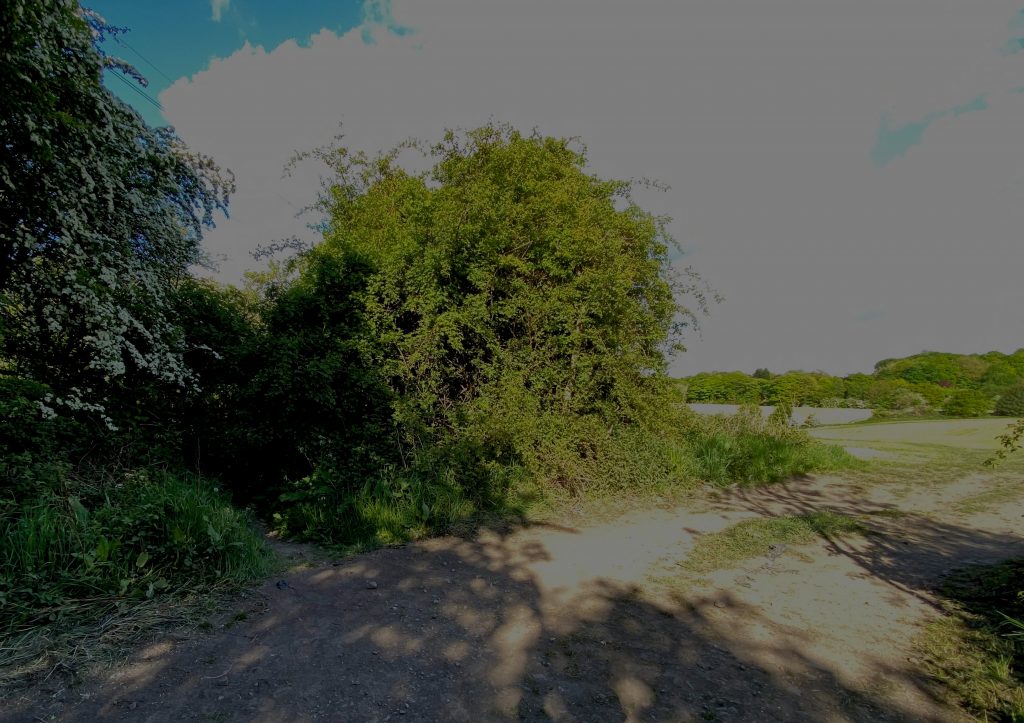
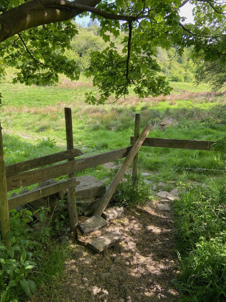
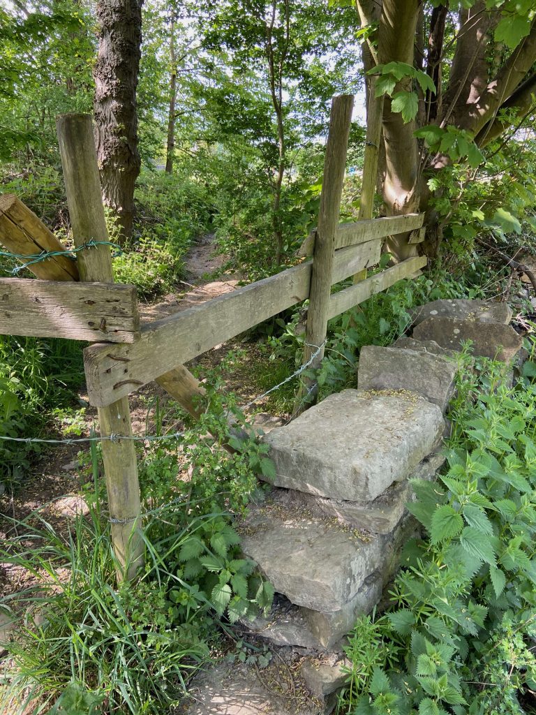
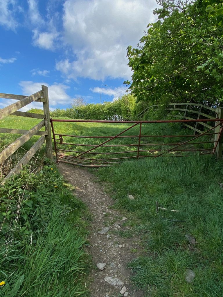
The path ends at an old wooden gate where a stile on the right allows walkers to enter into the field adjoining the westbound carriageway of the M62. To the right of the stile is a small triangular field which is shown on all the different ordinance survey maps from 1854 and also on the 1824 map of Rastrick. On that almost 200 year old map, the field is named simply as ‘paddock’. This was where the farmers of old would leave their work-horses overnight. There would have undoubtably been some kind of building where the horses were stabled in bad weather but I haven’t found any evidence of it.
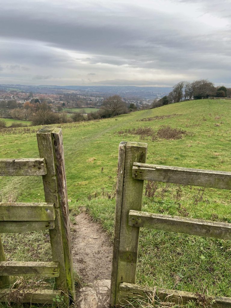
At the M62 motorway end of New Dick there is a old wooden gate held together with barbed wire. Access to the next field is via a stile located to the right of the gate.
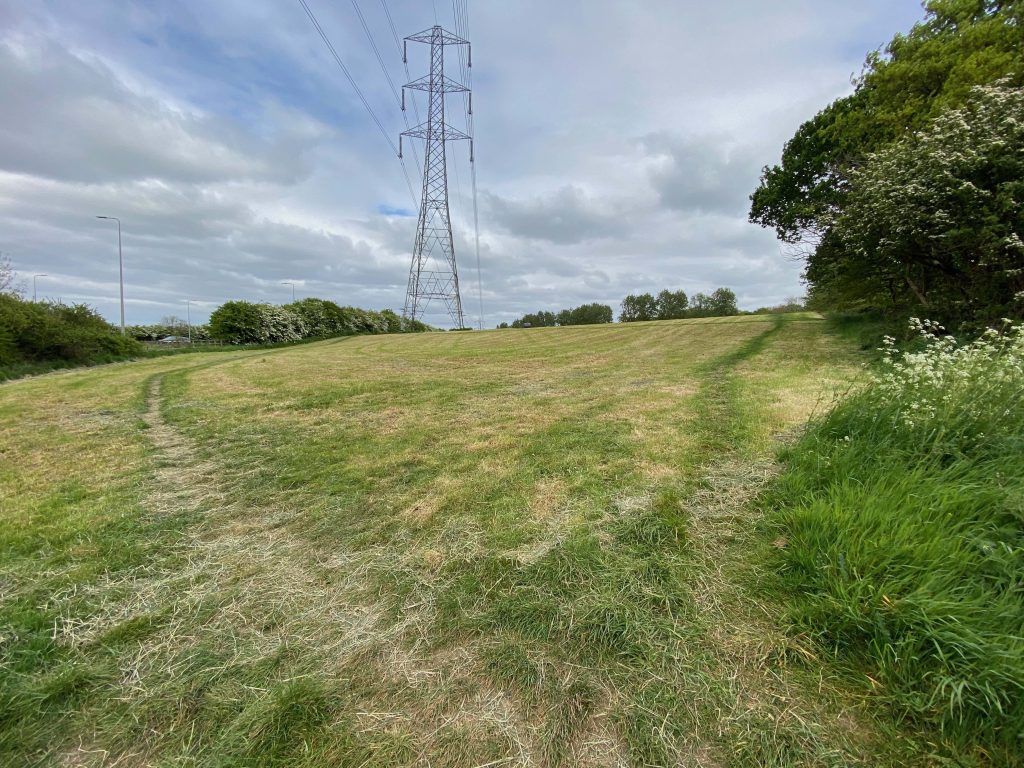
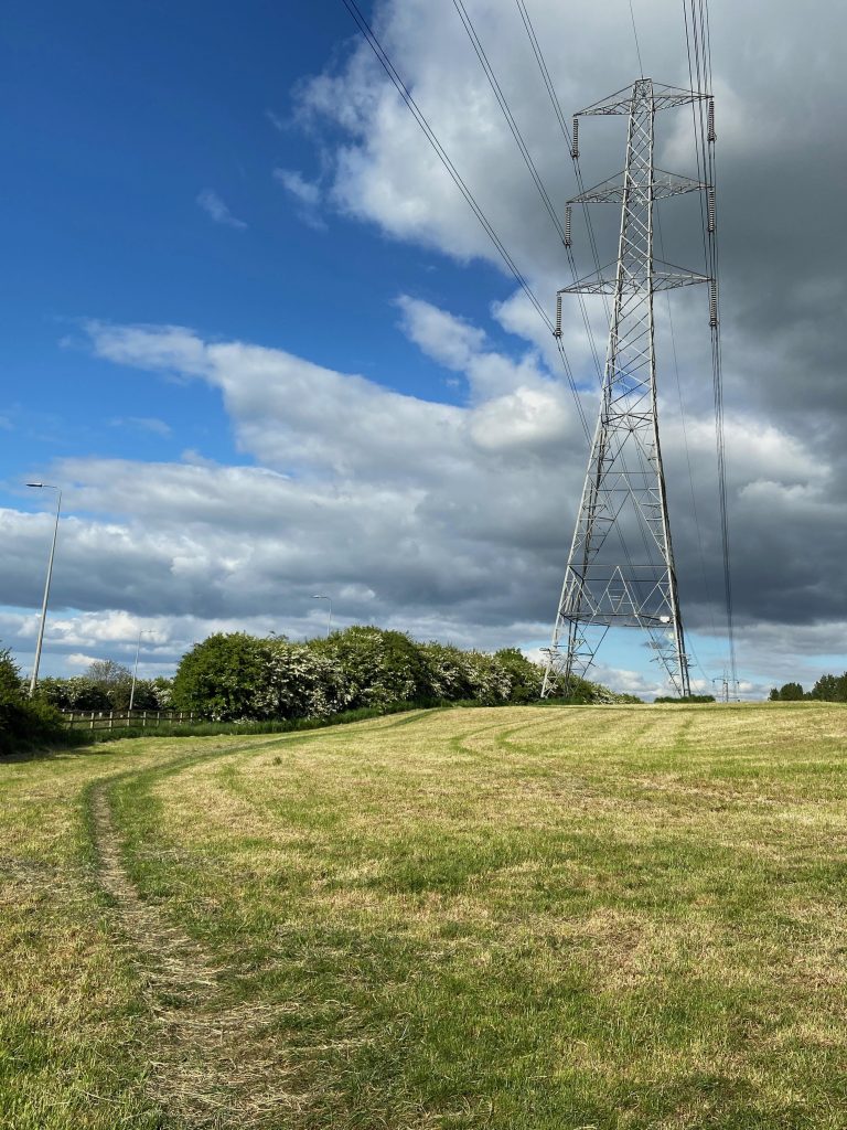
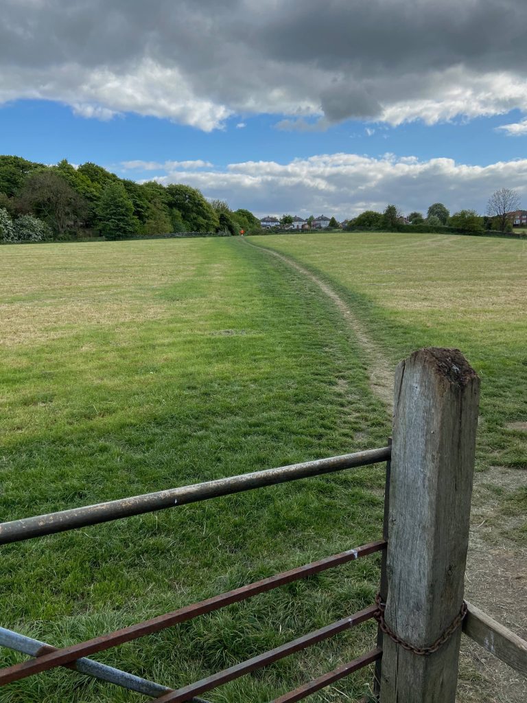
After climbing over the stile, go straight ahead towards the large pylon,ignoring the path going up to the right.
This track heads towards the fence which separates the field from the westbound carriageway of the M62 motorway.
Following the path and the direction of the overhead power lines, the track soon arrives at the entrance to the footbridge over the M62.
The above photograph shows the entrance to the footbridge over the M62.It used to be accessed by another wooden stile but this has been broken down and walkers must now stride over two wooden rails.
The footbridge passes over the busy M62. Local families often make cardboard signs which ask wagon drivers to sound their horns and flash their lights as they approach the bridge. Many of them oblige, to the delight of the young children. Some of the air horns are deafening !
On the other side of the motorway there is a path going straight across the field (above) but IGNORE IT.
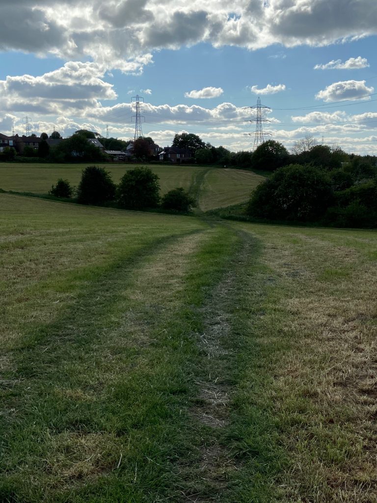
Instead, turn immediate left and follow the line of the fence down the field which runs adjacent to the eastbound carriageway of the M62. The path is heading towards the Round Hill in the distance.
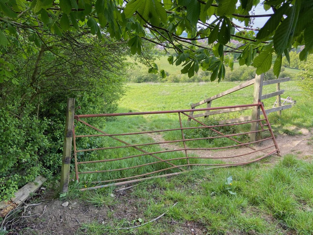
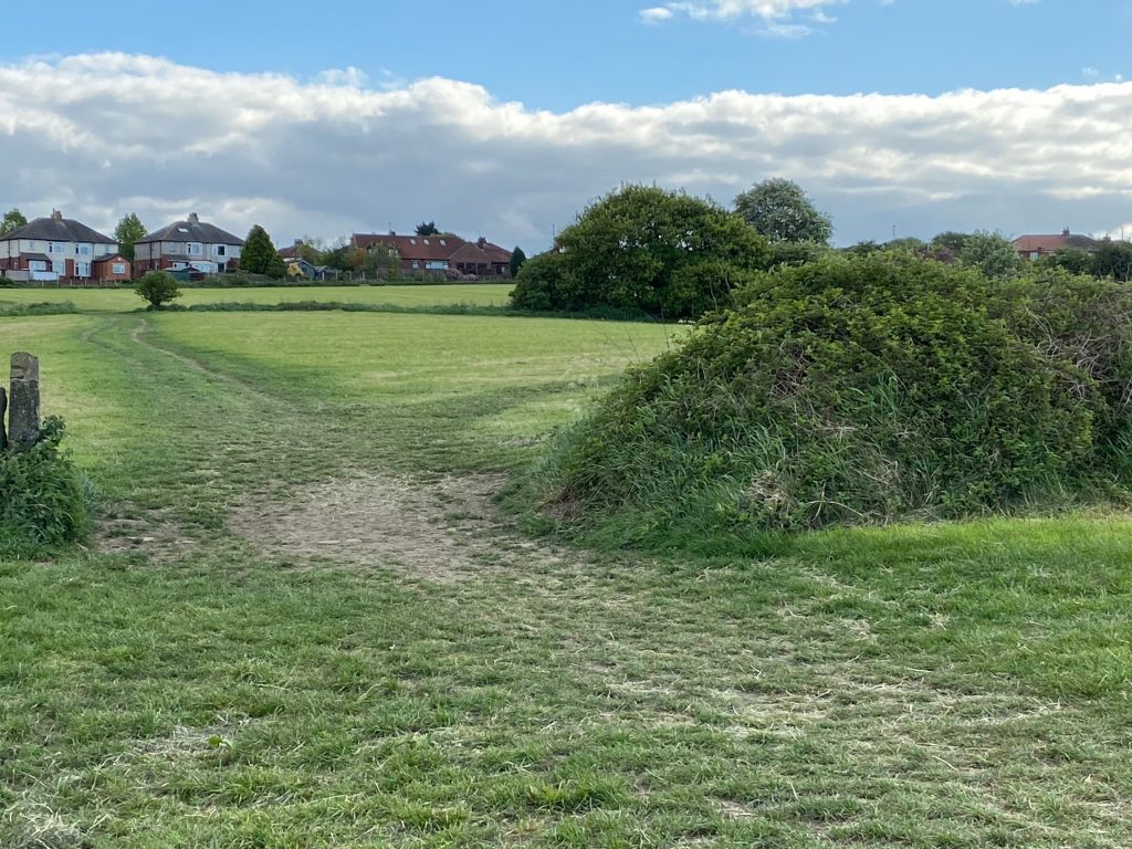
Keeping heading down until you come to a gate. There is sufficient room to squeeze through the left side of the gatepost. Alternatively, it is possible to lift the gate and open it sufficiently to get through. Cows are regularly grazing in the top field therefore it is important to CLOSE THE GATE again after use.
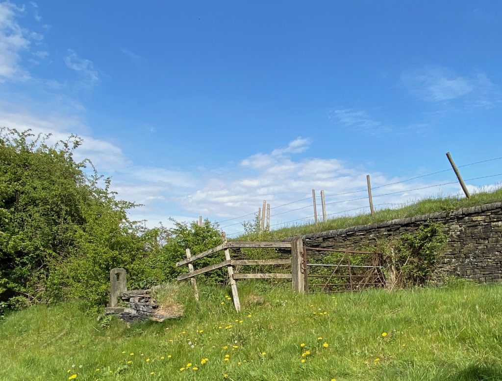
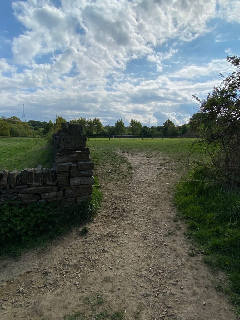
Once through the gate into the lower field, the route turns to the right where New Dick actually starts again on the other side of the gate pictured above. It is so overgrown with brambles and weeds that it is necessary to walk on the lower side of the hedgerow, passing the broken down wall and old stone gatepost shown in the photograph.
After a short distance of only 10 metres, there is a gap in the hedgerow on the right. By going through the trees, we are once more back onto the route of the original New Dick.
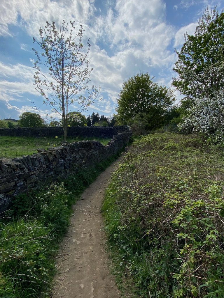
Whilst being overgrown, the old highway is perfectly accessible with a wonderful drystone wall to the right. It has supported Lower High Field above for almost 200 years and is a fine example of the skilful art of the old wallers craft. It is possible to get around the left side of the gate which is just about showing in the distance.
Once on the other side of the gate, there are two stone drinking troughs built into an ornate wall setting. Some of the wall cappings have fallen off over the years but I hope that this beautiful feature from a by-gone era is not allowed to fall into disrepair. The troughs are fed by a natural spring coming out of the wall. The right hand trough is slightly lower than the other so that the water flows from left to right. This would have been an important area for the horse-drawn coach drivers as they needed to know where drinking water sources could be found for they animals, especially in hot weather. The troughs were so important that they are shown on all of the old ordinance survey maps. The theory behind one trough being lower than the other is that humans could drink the fresh water from the higher trough whilst the animals drank from the lower one.
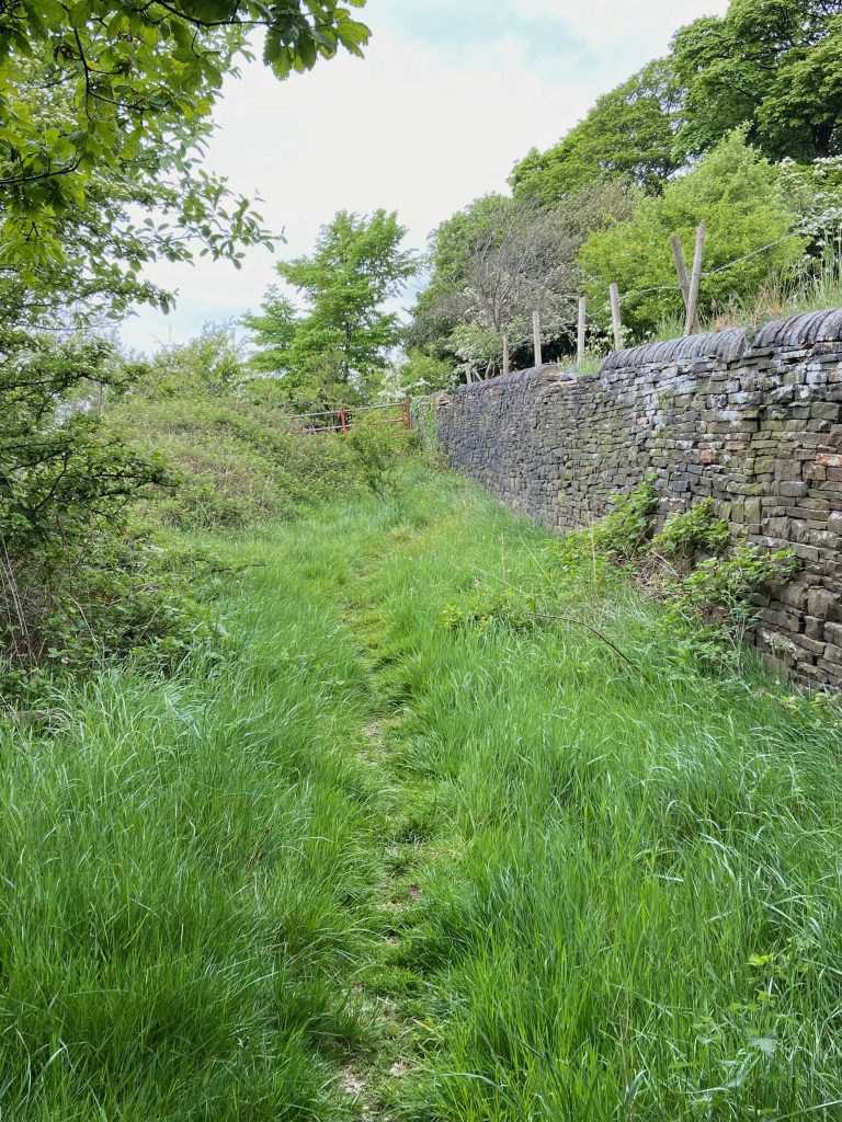
Immediately after the troughs, there is an entrance in the wall to the right which, via three steps, leads up to a very old stone flag stile immediately followed by another more modern wooden one. This leads onto a track through Lower High Field and back up to the M62 footbridge. For people who feel that they have walked far enough, this is an ideal location to head back towards the starting point of the walk at the Roundhill Inn.
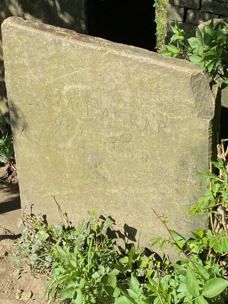
The stone stile is of great interest and is the subject of several local myths that have been elaborated upon over the years. Why is this? To find the answer, walk between the two stones and then turn around and look closely at the larger of the flags. Engraved upon the stone is the name of Asa Farrar, Oc 9th 1859.
One of the myths states that Asa Farrar was hung from a nearby tree because he was a highwayman. Another tells of him committing suicide and that his restless spirit wanders the lane at night. In both tales, the engraved stone marks his grave. If you are interested in the true story, it is elsewhere on this website and can be accessed via this link.
To continue along the walk, we leave Asa Farrar and go back down the steps onto New Dick and turn right in the direction of Toothill.
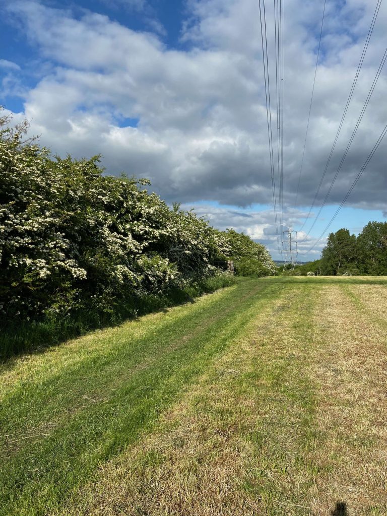
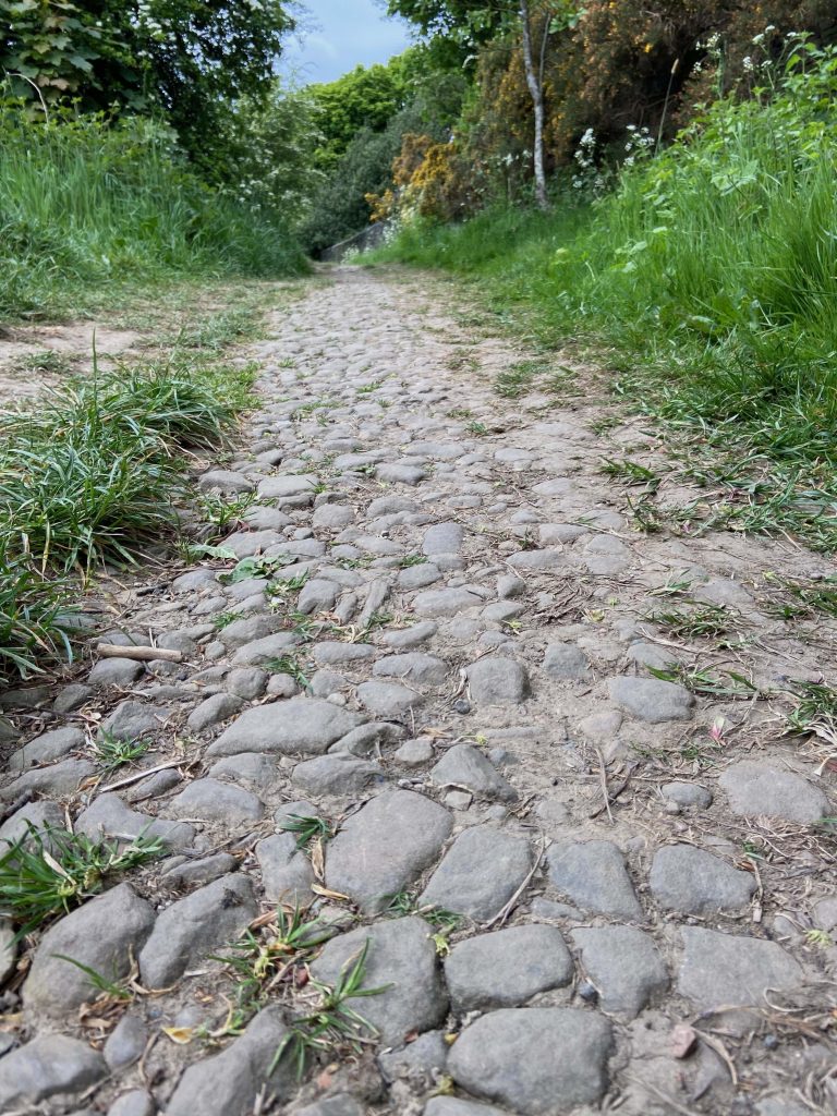
More and more people appear to be using this section of New Dick for exercise. Walkers, with or without a dog, joggers and even cyclists are using the paths, especially so with the recent Covid-19 issues. The latter group encounter difficulty in passing through some of the stiles and some of the older wooden structures have been vandalised and broken down. One interesting aspect has arisen from the increased use of New Dick over recent years. The natural dirt and soil surface that has accumulated over many decades has started to wear away and the original road surface from the days of the horse drawn coaches is now showing through. The quality of the road proves that New Dick was not just another country lane cart track but was a highway of some importance. From Roman times, the road builders found that a strong foundation and a smooth arched surface, whereby water could drain away, were essential. You can just about make out the curve of the road surface on this photograph and for it to have lasted all these years is quite remarkable.
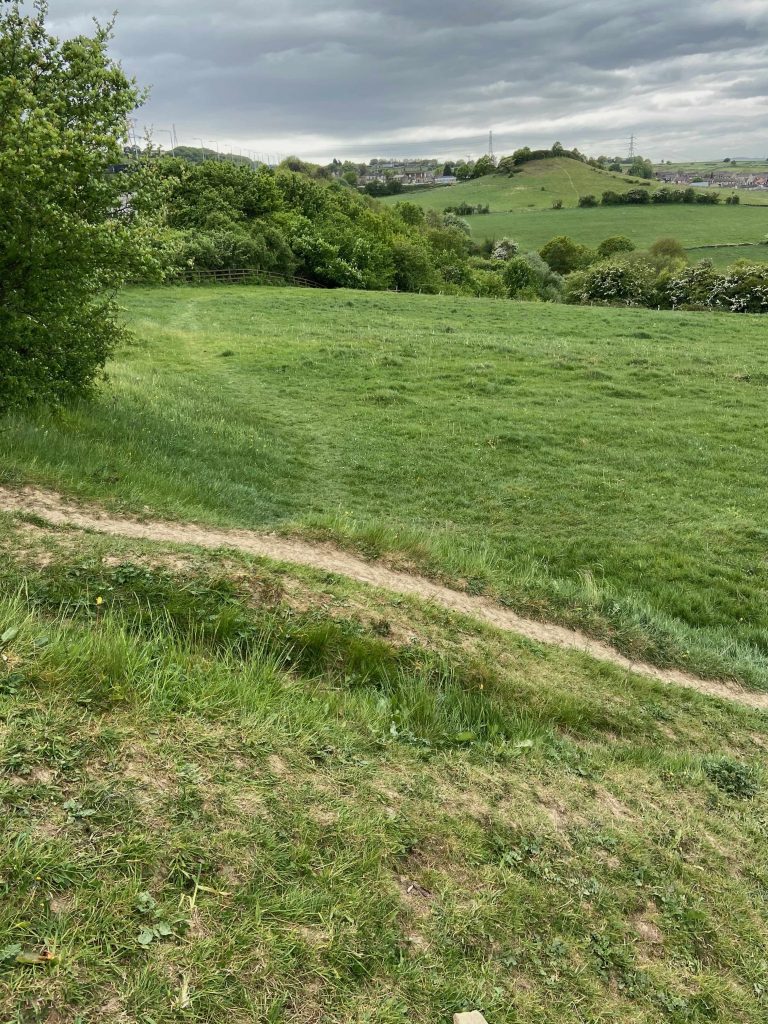
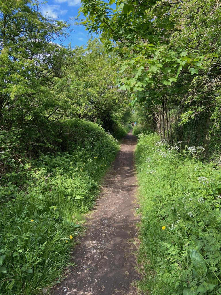
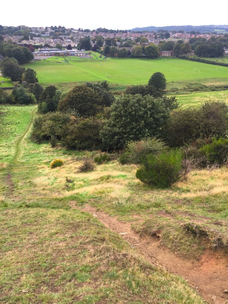
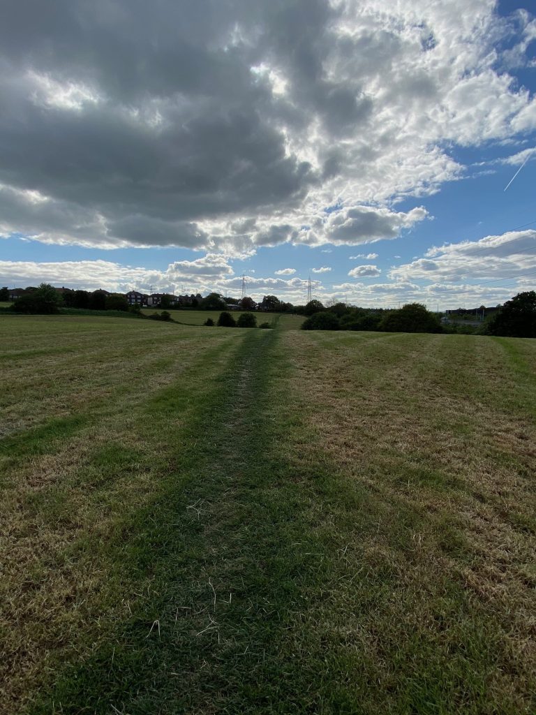
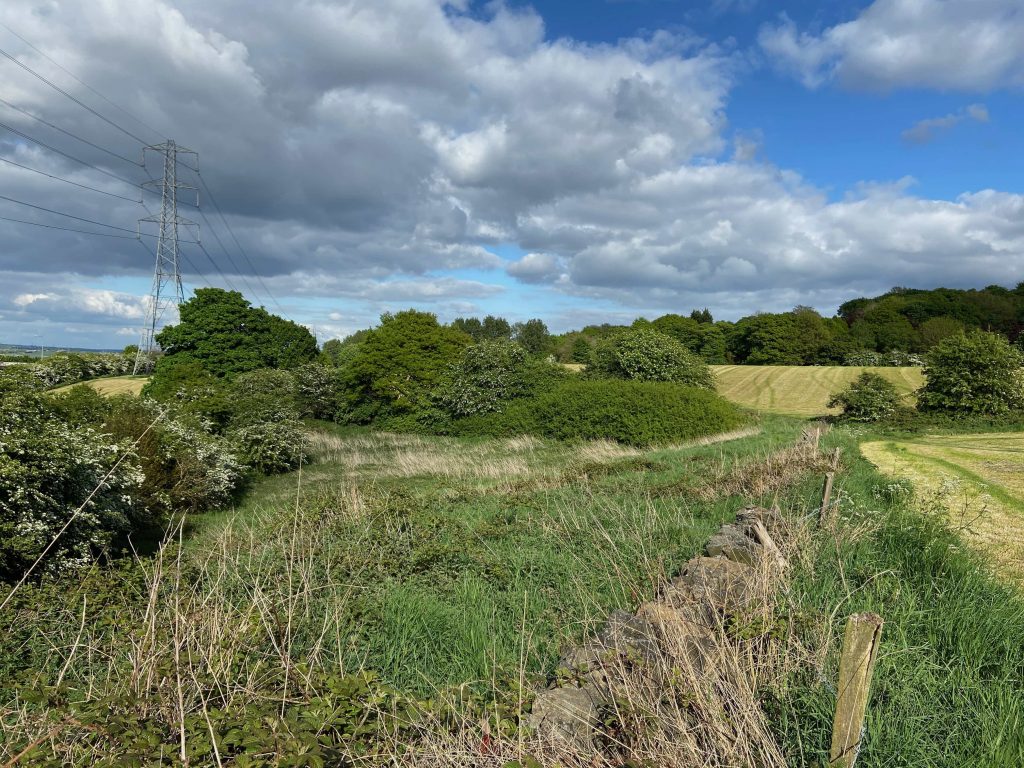
New Dick continues in the direction of Toothill with occasional glimpses through the trees of the valley below at Carr Green.
The track eventually meets up with a recognised road at the junction with Toothill Bank and Toothill Lane.
There is an option at this point. Risk life and limb in negotiating the rugged steep hillside of the grass banking that leads down to Carr Green or take the easier route.
Fig. 1
Fig. 2
Fig. 3
Fig. 4
Fig. 5
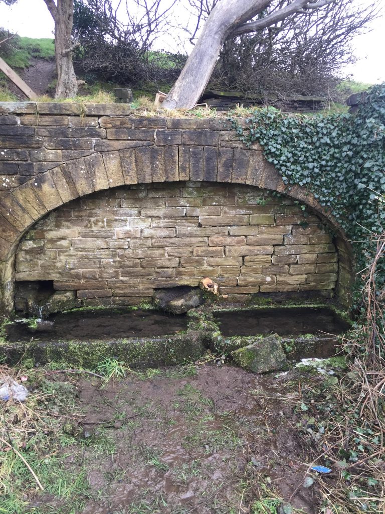
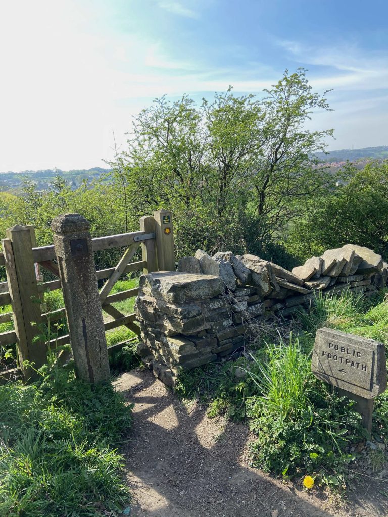
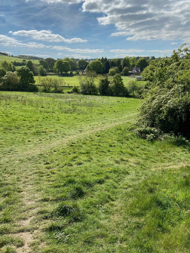
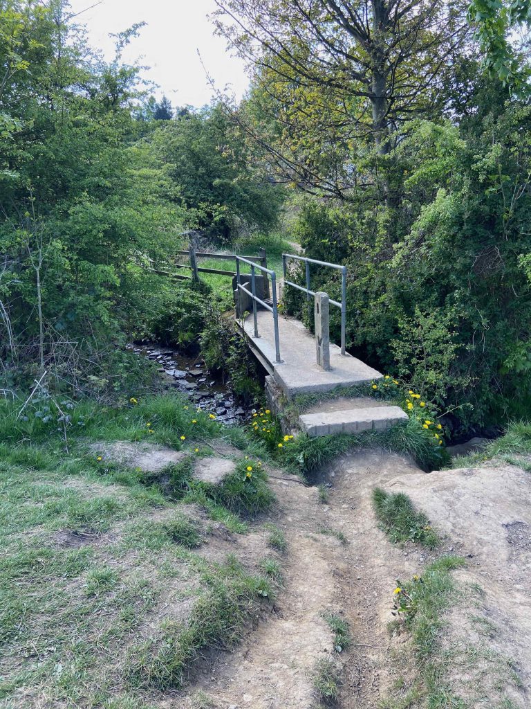
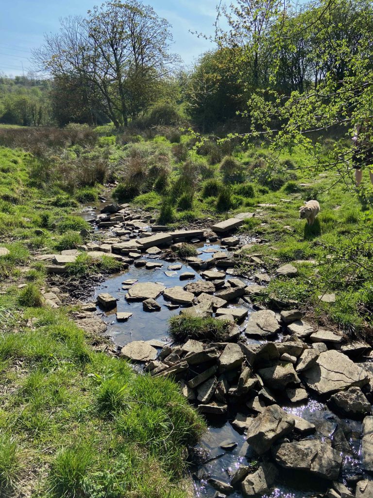
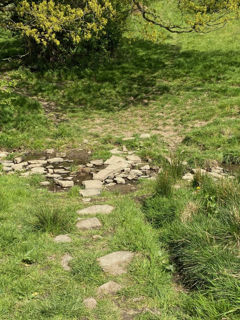
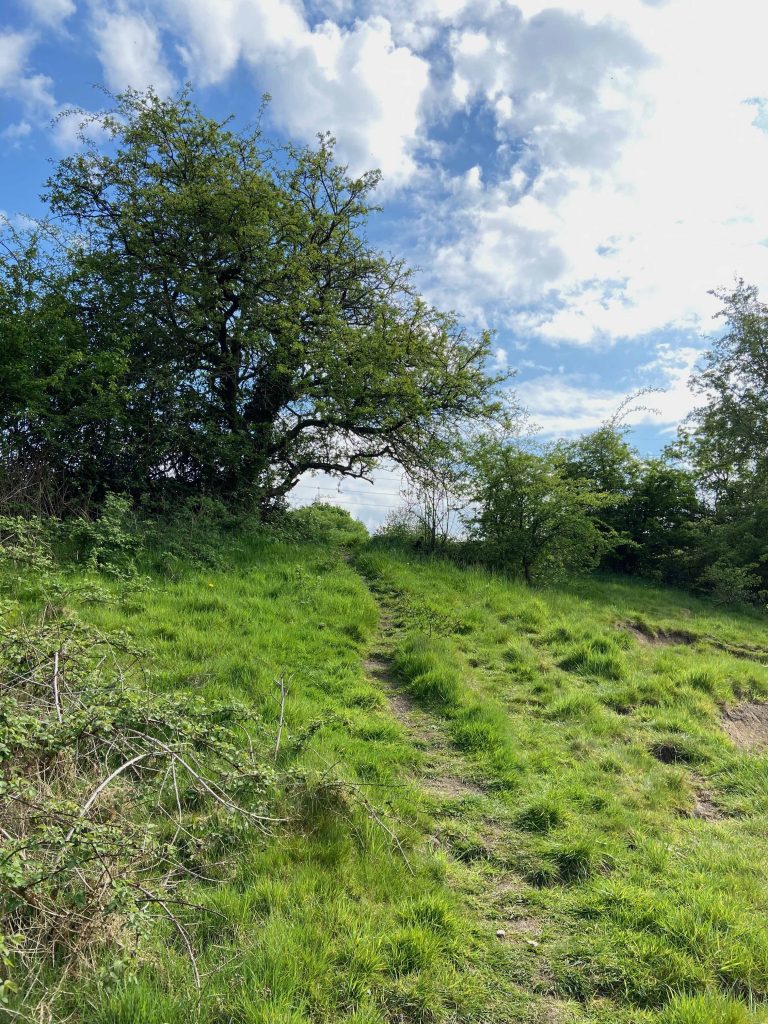
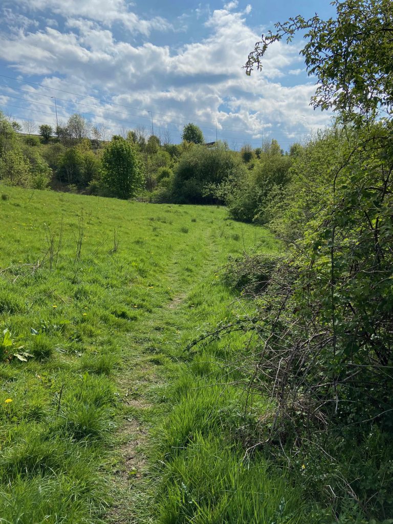
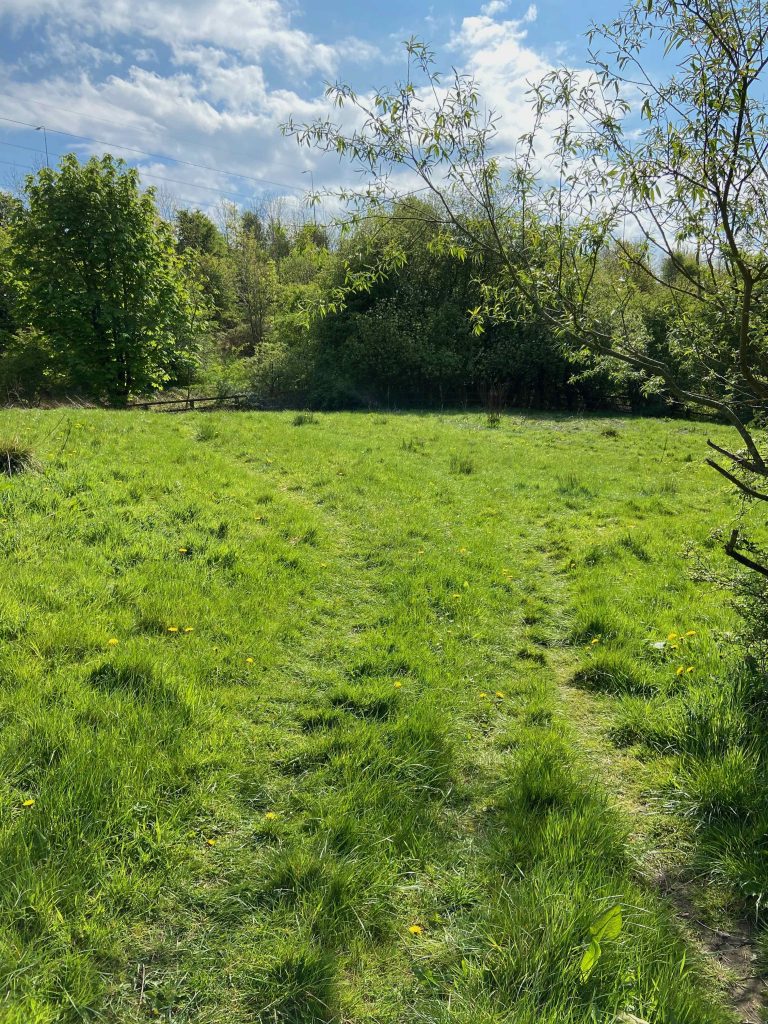
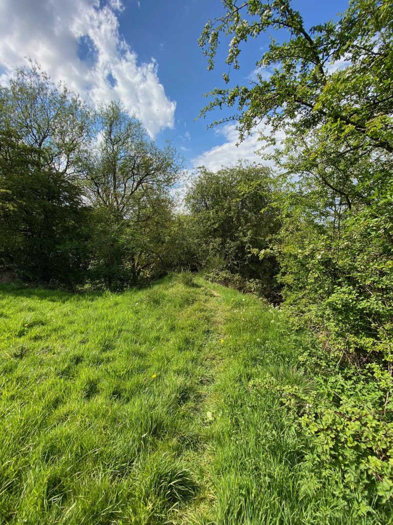
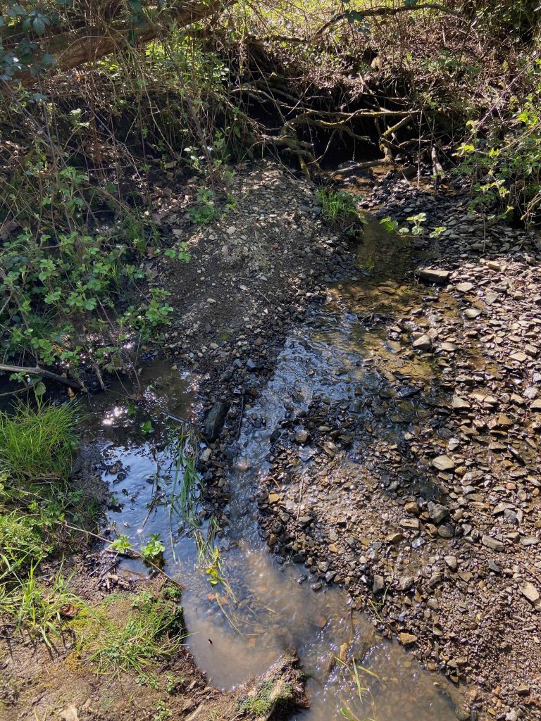
Our walk takes the easier and safer path which involves heading down Toothill Bank until reaching a gate on the left. Once through the gate (Fig.1), take the track on the left that heads diagonally down the hillside towards Carr Green (Figs 2 & 3). It eventually meets up with the path that comes directly down the banking at which point the route heads to the right (Fig. 4) and then over the bridge across the stream (Fig. 5).
After crossing the stream, the path heads up towards Carr Green recreation ground. This track formed part of a network of cart roads that came down from Carr Green Lane (directly ahead) and then into Quarry Road (to the right) which in turn led past Southages Quarry, joining up with Toothill Bank almost at the bottom of the hill opposite Rastrick Bowling Club. At the end of the track, turn left into the recreation ground. Keeping on the bottom side of the field, follow the limestone path alongside the football pitch up to the very far left corner (below photographs).
There isn’t a specifically defined path into the corner of the field but this walk heads down into the trees where a fence has been conveniently adapted into a stile by removing a rail and adding a few stones alongside the base of the fence post. This has been a through route for over 50 years to my knowledge. It leads to an area of the stream where generations of Rastrick youngsters have played and built dams with the countless loose stones that are left over from the distant quarrying days in this area. Two strands of barbed wire will never be enough to stop this current generation, that’s for certain.
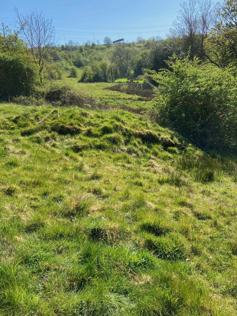
After crossing the stream, just a few metres up the hillside, directly in front, there is an unusual grass covered mound of earth. This blends into the surrounding area and most people would not give it a second thought. However, this valley was used as a firing range for many years. A private shooting club and territorial reservists used the range from before the 1st World War up until around the early 1950’s. The range had staggered firing points from 500 yards (located near to the white house on Toothill Bank) up to 100 yards from the targets which were positioned in the distant hillside on this photograph. This mound of earth has the exact GPS co-ordinates as the 200 yard firing point on the range therefore many reservist soldiers will have been taught to fire .303 calibre rifles from this exact spot in readiness for armed combat in the two world wars. Several men, who are now in their 70’s, have recounted stories on the Memories of Brighouse Facebook page about how they used dig the lead bullets from the hillside behind the targets when they were young lads.
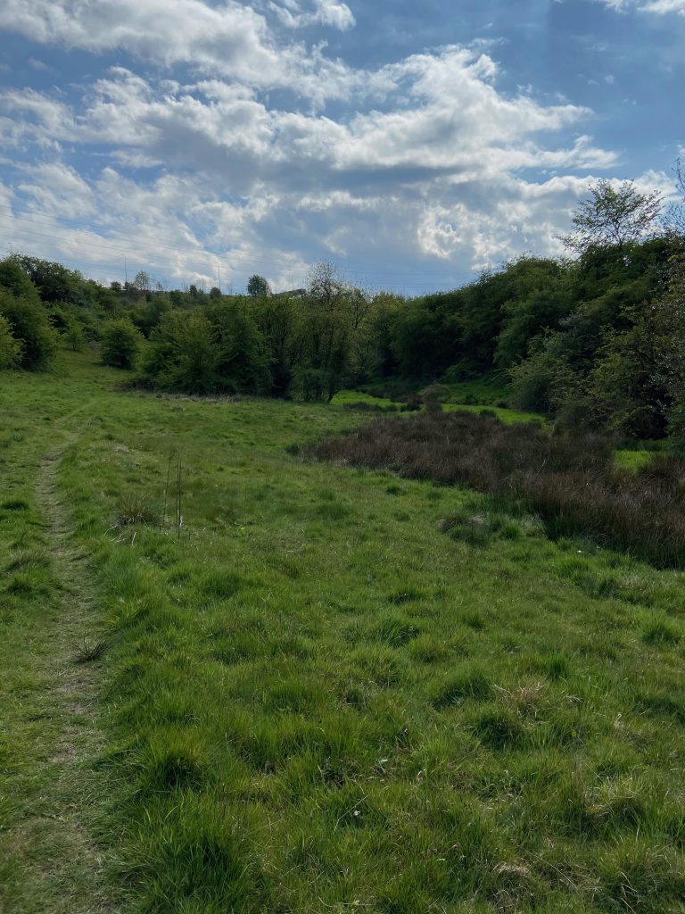
If we can now return back to the route of our virtual walk, after crossing the stream, make an immediate right turn and follow the path alongside the marsh grasses in the boggy ground to the right. Keep right at all times and do not be tempted to take any other paths off to the left.
You will notice on this photograph that the path appears to fork adjacent to the tree. Again, keep to the right as it slowly rises up the hill. If you look closely, there is a lamppost above the tree line directly in front of the line of the path. This of course is part of the M62 which the trail is now heading back towards.
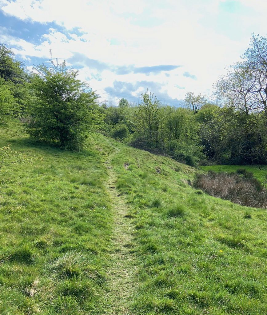
The path ascends a little more steeply as it approaches a gap in the old field boundary. Upon reaching the top, turn immediate right.
Once again the path heads in the direction of the M62 which is just above the banking in front.
As the track gets closer to the motorway boundary fence there is yet another fork. The left fork heads towards the fence and a horse chestnut tree to the left of the photograph. This is the route for our walk but let us just deviate for a moment. By taking the right fork we can go and take a quick look at the valley where both the source of the stream and the firing range targets were located.
Just around the corner from where the path divides, there is another worn pathway that leads into the trees on the right.
Walking up this short path leads to a steep drop on the right. This was where the firing range targets were once located but it is now very overgrown with mature trees.
Looking straight ahead, the steep banking drops down to the source of the stream that winds its way down the valley and past Carr Green. The fresh water that feeds the stream actually rises in the fields between Clough Lane and Lower Cote. One is piped under the M62 whilst the other emerges from a gulley that flows under Clough Lane. The two meet at the point of the above photograph. The stream was important because it is known to have driven water powered machinery in some of the small local cottage industries further down stream. One such manufactory was located on Quarry Road, near to the bottom of Toothill Bank. When the houses were demolished around 1970, a waterwheel was found under the stone flooring of one of the former buildings which was reported to have powered a machine in a small tannery. I remember going to look at the waterwheel in our lunch break, along with other pupils from Rastrick Grammar School following reports in the local newspaper. It proved too fragile to extract and was covered over and left in situ when the old Bowling Club car park was built. From there, the stream flowed under the road at the bottom of Ogden Lane and then through the grounds of Castlefields Golf Club. It went on to fill the mill dam at Walshaw Drake’s Rosemary Dyeworks and was then piped under Bramston Street recreation ground towards Bridge End where it flowed into the River Calder behind the railway arches.
Returning back to the route of our walk, it is necessary to retrace our steps for a short distance. Heading back to where the track forked off to the right, we can now follow the track towards the horse chestnut tree and the M62 embankment, shown below.
As the path approaches the boundary fence of the M62, it curves around to the left and heads back up the field towards the footbridge over the motorway.
But first, the gate into Lower High Field has to be re-negotiated. The path runs up the field, adjacent to the right hand fence and eventually arrives once more at the motorway footbridge.
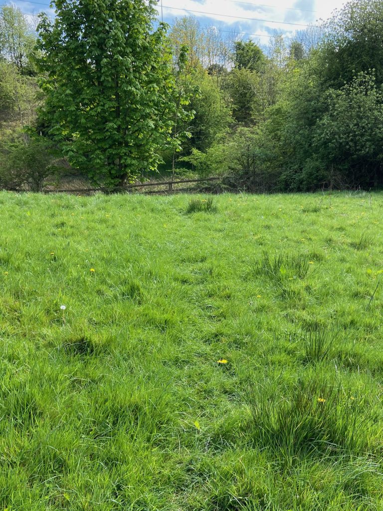
After crossing the motorway footbridge, go straight ahead towards Fixby until reaching a wall where the person in the orange jacket is, in the distance. This is heading back towards the Four Sons Inn but is via a different route to the one used earlier. The crematorium grounds are to the left. It is probably best to mention that many of these photographs were taken in early May 2020 after the first cut of grass for silage. Depending upon what time of year the walk is completed, the grass can be quite long but the paths are still clearly defined.
Upon reaching the previously mentioned wall across the field, the pathways come to a crossroads. A left turn leads towards the crematorium grounds, straight ahead leads up to Fixby Road where there is a public footpath between two houses, emerging immediately opposite Fixby Stores. Another track is evident through the un-gated entrance into the next field which heads off to the right.
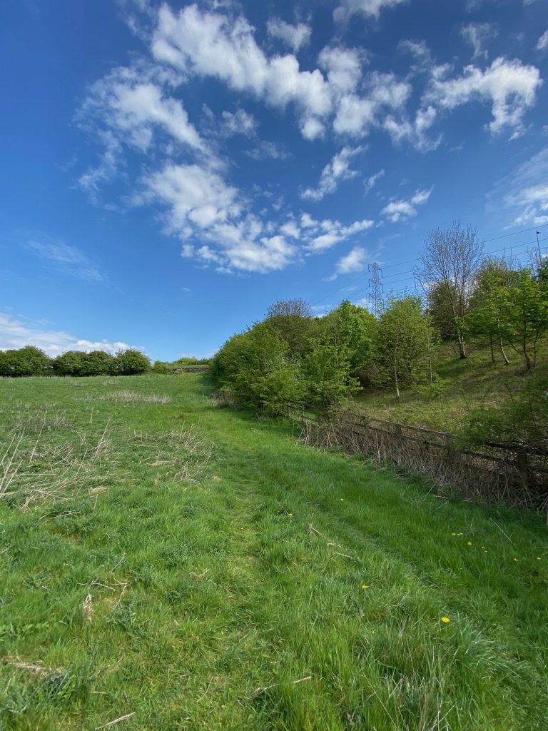
After making the right turn, the view looks across to the far corner of the fields.
Be aware that if doing this walk during the winter months or after long periods of wet weather, the ground in the bottom of the dip can get quite boggy. Appropriate footwear is therefore recommended or be prepared to get wet and muddy feet. The ancient paddock that was mentioned earlier on the walk is behind the trees to the right, at the bottom of the sloping field.
This photograph is of the paddock, where the working horses of old were kept, taken from the narrow point of the triangle. I seem to recall a triangle with two equal sides being an isosceles triangle….. how’s that for someone who failed O Level Maths. The photo is looking back in the direction from which we have just travelled. On the other side of the hedgerow on the left is the old section of New Dick that we travelled along soon after leaving the Four Sons Inn at the start of the walk. The pylon on the left is near to the M62 footbridge.
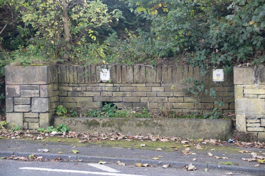
Upon arriving into the corner of the field, turn left up Toothill Lane South and back to the Four Sons Inn. Notice the old trough on the opposite side of the road (pictured below), another relic from a bygone era of horse drawn vehicles along this highway.
At the Four Sons, turn right back down the main road, under the motorway bridge to our starting point at the Roundhill Inn. If you have worked up a thirst, I’m sure that Paul and Kirsty will welcome you in for a thirst-quenching drink (assuming you read this after the Covid-19 social gathering restrictions have been abandoned).
I hope you have enjoyed the virtual journey and that it has brought back many memories for people who are no longer able to do this walk for whatever reason. If you live locally and are able, why not do the walk for yourself, I’m sure you will not be disappointed.