A VIRTUAL HISTORY WALK - UPPER EDGE, LOWER EDGE & BACK BRAID

THIS WALK STARTS AT THE SUN INN, RASTRICK, TRAVELS ALONG DEWSBURY ROAD TO UPPER EDGE, ACROSS THE WILDERNESS TO LOWER EDGE, PAST HIGHBURY PLACE AND BACK BRAID FARM TO NEW HEY ROAD, ENDING BACK AT THE SUN INN

UNFORTUNATELY, A SECTION OF THIS WALK HAS NOW BEEN SUBJECT TO A HOUSING DEVELOPMENT AND THE ENTIRE AREA OF BACK BRAID FARM HAS BEEN CONFINED TO ANNALS OF HISTORY

INTRODUCTION

This another virtual walk around Rastrick which has been researched by JOHN SHEPPARD of the Rastrick Local History Group. John lives at the ‘Top End’ and so this area is very close to his heart.

Our walk begins at the Sun Inn cross roads. The traffic lights here were the first set to be installed in Rastrick and are still only one of two. The road leading to the east, Clough Lane, and that to the west, Dewsbury Road, were from 1759 part of the Dewsbury and Elland Turnpike Road. Approximately north to south runs New Hey Road, locally known simply as New Road, which was built as part of the Rastrick and Outlane Branch of the Huddersfield and New Hey Turnpike Road, opened in August 1809. 

Sun Inn crossroads, Rastrick

So this became an important junction and it made commercial sense to build an Inn here. Its fortunes have varied over its two centuries and it is notorious for the grisly suicide of one publican, but at the time of writing, it is a thriving and popular pub serving food and drink.

Lands House, New Hey Road, Rastrick

Before starting out on the walk, take a look around. Up New Road, on the left, before the M62 bridge, you will catch a glimpse of turreted Lands House (pictured above). Designed by Brighouse architect R. F. Rogerson, this was built for William Smith and his first wife, Susannah. A mill owner, William Smith (1839-1922) was a generous benefactor in Rastrick and Brighouse, and served as a magistrate, a borough councillor, alderman and twice as mayor, and was given the freedom of the Borough. He was also said to have owned the first motor car in Rastrick, a Daimler, but he was criticised by some for not paying his workers enough money. William took a particular interest in his great nephew, William Henry Smith, and was badly affected by the death of William Henry in the Great War. Susannah died in November 1916 and the following spring, William married Edith Mary Laister, daughter of a Methodist minister from Southport. An indenture of November 1921 transferred the lease on Lands House, its grounds and the plot across the road to a trust established to run an orphanage. However, it was not felt suitable and was next occupied by David Harold Smith, a Huddersfield mill owner. Among various subsequent occupiers were members of the Blakeborough family, the Rastrick and Brighouse valve makers of world-wide fame. In later times the house became a residential care home and in 2019 it was divided into modern flats.

Lands Farm, Rastrick

Diagonally opposite the Sun Inn was Lands Farm. By 2020 only the 1930’s farmhouse remains, the older buildings sadly having been demolished in recent years to make way for a new housing estate.

On the opposite side of New Road, on the right as you look up, is Ridge House. This also belonged to the Smith family and was occupied by Albert Edward Smith and his wife, along with their son, the above mentioned William Henry Smith. 

Looking now at Clough Lane, notice the curved garden wall at number one. Originally angled in line with the roads, it had to be modified to accommodate trams as they turned this corner on the Huddersfield-Brighouse route, a service introduced in March 1923. Best-known residents in this house were the respected general practitioner Dr. Harold W. C. Robertson and his wife Kathleen who lived there from the mid-nineteen-sixties.

Cast your glance further along the roof-line on that side and notice the large overhang on numbers 7 to 13. We will come back to that at the end of our walk.

So, it is time to start walking along Dewsbury Road. The new housing estate on your left, Badger Hill, is on the extensive site of Badger Hill Mills (above left). These textile mills were owned by John Smith & Sons, one of those sons being William Smith of Lands House. The older parts of the complex were badly damaged by a large fire in 1970. The mill-chimney was found to have cracked. In January 1973 it was demolished but fell across the remaining part of the mills, bringing an end to manufacture at what had long been the largest of Rastrick’s textile operations

On your right, well below the present level of the road and built on a former quarry, was since 1896 the home ground of New Road Cricket Club, renamed in 1988 as Badger Hill Cricket Club. Established by New Road Sunday School in 1885, this team played in what was fondly known as “the pop and crisps league”, a lower level than Rastrick Cricket Club at Round Hill. Unable to secure long-term leases from the landowner, Thornhill Estates, and in the face of a decline in local cricket, this club sadly folded and the field was left vacant. The old quarry face on the west side of the field has long reverted to nature (above right) but until the earthmoving operations of November 2020 the abrupt change of contour remained obvious.

Across the road ahead of you are a couple of enclosed reservoirs. They replaced an open reservoir up New Road in what is now the large garden of Water House just above Lands House.

As you climb the slight hill notice that the oldest houses, such as numbers 18-20 with the datestone showing “JSM 1779”, are at a lower level than the road, then subsequently you pass houses, more modern, which are above road level. It is the road which has changed. Turnpike trusts were established to improve and maintain roads, and in the 1820’s as part of a scheme to relieve unemployment, the steep hills on this road were eased. Until then it is probable that many coaches would have avoided this section of the road, preferring to turn off opposite the Round Hill Inn to go by Cote Lane and Pinfold Lane as far as Upper Edge.
The incline on Dewsbury Rd towards Elland
Number 20, Dewsbury Road built 1779
On your left, the first pair of semi-detached houses, initially occupied in 1934, was built to provide a manse to the Baptist church which we shall shortly be seeing. It was soon joined by more inter-war and post-war houses with infill continuing into the present century.
 
On your right is a fine pair of stone-built houses, one of which is named Grantham House, and a small industrial complex known as Grantham.  Somewhere hereabouts was Grantham Park, the nineteenth century sports ground for Rastrick. Both Rastrick cricket teams originally played here before acquiring their own grounds at Badger Hill and Round Hill respectively. Not only cricket but also knurr and spell, pedestrianism, pigeon shooting, all sorts of games are known to have been played at this ground, but unfortunately the exact location is lost in the mists of time. There is more detail about Grantham Park on this web-site at:-
 
Grantham House, Dewsbury Road, Rastrick in the foreground

Beyond the row of eighteenth century cottages, which have been converted into one house, number 110, is a large open meadow where you can often see Bottomley’s cows grazing. Well within living memory, though, this was a large quarry, marked on twentieth century maps as Five Acre Quarry and formed by the merging of nineteenth century Scar Edge Delf and Five Acre Delf.  Extraction having ceased, the big hole was a handy depository for fly ash from Elland power station. The casual observer now would not guess this green field’s history.

Former quarries in fields off Dewsbury Road

At the western edge of the ex-quarry, by the electrcity sub-station,  is a footpath which leads along Scar Edge to Lower Edge. The path used to go from the aforementioned cottage but had to be diverted to accomodate the quarrying. You can take this path if you wish to shorten your journey slightly. Otherwise continue on Dewsbury Road.

The large building ahead is Upper Edge Baptist Church, opened in May 1891. In December 1894 a gale demolished much of the building. Money flowed in, including a substantial contribution from William Smith of Lands House, for repairs to be quickly undertaken. More on the history of this church and its congregation can be found on its own web-site:-

https://www.uebc.org.uk/Groups/335936/Elland_Upper_Edge.aspx.


If you pop into the garden at the back you will get a good view of Elland, Halifax and the moors behind.

View from the rear of Upper Edge Baptist Church over Elland and beyond
Storm damage in 1894 at Upper Edge Baptist Church
Upper Edge Baptist Church in 2020

You are now entering Upper Edge, sometimes known as Elland Upper Edge or, on some old maps, as Over Edge, which straddles the boundary between Rastrick and Elland. Many houses on the Elland side were demolished in the mid-twentieth century when they were no longer needed to house local quarry workers and were considered unfit for modern living.

The first house beyond the church, number 128, was demolished in 2019 and has been replaced by a new-build. The former owner, Mr. Brian Whiteley, having moved into one of the flats further along. A well-known cricketer, he is often referred to as “Uncle Brian”, being the uncle of Adrian Gingell, who lived next door and was also a player with New Road CC, the two of them often taking the field together.

The former No. 128, Dewsbury Road, Upper Edge

Across the road is a water pumping station, accessed from Pinfold Lane. This lane formed the boundary between Rastrick and Elland townships and then between Brighouse Borough and Elland Urban District. The name of the lane reflects the fact that a pinfold, the joint responsibility of the two districts, was situated a little way up there. On the Elland side of the Lane stands Pinfold Guest House, formerly the Black Bull from 1834 to 1909, handy for traffic using the turnpike and for that which had taken the diversion round Cote Lane and Pinfold Lane, and a useful resting place for those who had struggled up the hill from Elland. Its closure as a public house was one of a number enforced locally following the 1904 Licensing Act, the closeness of the Rock Tavern no doubt being a factor in the authorities’ decision.

Water pumping station, Dewsbury Rd junction with Pinfold Lane

Take the snicket on your right between the cottages at the back of a larger house. You are now officially in Elland. Bear right on the lane ahead of you, Bean Street, then round to the front of the last houses on the left. Here you have a choice. If you are not feeling energetic, keep on the level and go along the breezy Scar Edge to Lower Edge, where we will meet you. Otherwise go down the hill on the scenic path known as ‘The Wilderness’. Either route will give you good views over Elland to Greetland, to Norland, and to Halifax and beyond. On the horizon you should see the wind turbines on Ogden Moor. On The Wilderness you will be walking on flagstones trodden over the centuries – those remaining unstolen – on a path important enough to be lit by gas-lamps, a couple of which are still in situ though no longer functional.

The walk takes you between these buildings at Bean Street
Behind Bean Street, the track leads across the Wilderness
Path across the Wilderness

Having gone down the hill and up the other side, where the path turns into an unmade road, turn right then follow it round to the left. Those who took the Scar Edge path rejoin us at this point. This is Church Lane, Lower Edge. Note the house plus cottages on the right, named Quarry House. You will not see it as it is on the other side, but the date-stone above the doorway show the initials IIB and the year 1710. Converted to a sash-window at first floor level on the south side is a former taking-in door. The lane down which you are walking lies within Elland but this particular building is on the Rastrick side of the boundary.

The unmade road leading from the Wilderness to Church Lane
Quarry House, Church Lane, Lower Edge

Looking at the photograph above left, behind the bushes on the left is the garden of a very nice modern bungalow but this was previously the location of St. Michael’s Church and Infants School. The school dated back to the 1860’s but the building suffered structural damage in 1944 and the church was closed for two years. It re-opened for a short time before finally closing it’s doors in 1954. The schoolroom remained open and was used by locals for social functions until 1979. It was completely demolished soon after that date.

St. Michael's C of E Church and school at Lower Edge

At the end of Church Lane, with on the left, a stone-built shelter of 1955, unfortunately now roofless. It was built by John Jagger Builders and paid for by Mr. Ambrose Gledhill who dedicated it to his two sons, Herbert and John (Jack) whose names are inscribed inside. Straight across the road, the recently re-built “Coach House” and the former Royal Oak public house. This was the home of the Lower Edge Bowling Club many years ago and the pub sported its own crown green. Turn right round the front of the former Co-op shop, now a house appropriately called The Old Co-op. You are now on Lower Edge Road, another former turnpike trust road, under the guardianship of the Brighouse and Elland trust, thought to have been turnpiked about 1740, improved by them in 1814-15. Tolls on this route were abolished in 1868.

The Coach House to the left and the former Royal Oak public house to the right, now private residences
The old bus shelter at the Lower Edge Rd. end of Church Street
The former Lower Edge Co-op at the end of Church Street

Proceed along Lower Edge Road but when you are outside the last cottages on your right, one of them named Masons Cottage, look across the road and see a stone carved with the letter ‘E’ on one edge and ‘R’ on the other. You have arrived back in Rastrick. In fact, on your side of the road you have been in Rastrick for all except the first row of houses.

The ancient Elland / Rastrick boundary stone. You can make out the letter ‘E’ on the Elland side
Screenshot 2020-11-30 at 12.03.21
February 1908 newspaper report of closing the Noahs Ark & Masons Arms

Number 115 Lower Edge Road used to be the Noah’s Ark inn and number 105, Masons Cottage, used to house The Mason’s Arms, both of which closed in 1908, leaving only the Royal Oak open (though that too has now closed). It is perhaps understandable that three public houses in a village the size of Lower Edge was considered to be excessive so, like the Black Bull at Upper Edge, these two became victims of the 1904 Licensing Act.

As you go round the right-hand bend a lane goes off on the other side which leads to Boothroyd. Boothroyd House was re-built about 1850. Being bought from mill-owner Hanson Ormerod by William Smith of Lands House, it was used as an auxilliary military hospital during the Great War, then from 1919 as an orphanage, firstly for girls then for boys too. In 1959 the Smith’s Homes closed and two years later it became a residential school for those with special educational needs, now named The William Henry Smith School. Also off Boothroyd Lane are paths through Strangstry Woods and, now hard to discern, the track which was used to take stone from local quarries down to the Tag Cut canal loading wharf.

Mason’s Cottage, the former Mason’s Arms public house until 1908
Lower Edge Rd / Boothroyd Lane leading to the William Henry Smith school

Next on the right is the entrance to quarries, now worked by Brighouse-based firm, Rand & Asquith. Known as Gledhill’s Quarry, Elland Lower Edge Quarries or Elland Edge Quarries, this sandstone quarry is thought to have been mined since the middle ages and is now the last working quarry in our immediate area. As at several sites in Rastrick, the stone was at one time mined, rather than quarried, and the present operation has uncovered mined galleries and shafts at a depth of about seventy feet. For Health & Safety reasons, the public are not allowed onto the quarry site but it is possible to view photographs at https://www.examinerlive.co.uk/news/west-yorkshire-news/gallery/mine-hidden-100-years-discovered-10271611

This 1893 map shows the whole area between Lower Edge Road and Dewsbury Road to have been riddled with quarries. The stone from these is found all over the world.

On the left hand side of the road is the top edge of the Field Lane housing estate. In 1951 Brighouse Borough council announced plans to build six hundred houses on what was essentially a green field site. The first phase of the estate was completed in 1953-62 with a second phase in 1968-72 but further houses have been added more recently, including those in Gargrave Close which back on to Lower Edge Road. Ownership is now either by housing associations or privately.

The entrance to the estate from Lower Edge Road is by way of Nunnery Lane, the next road to the left. This used to lead to Nunnery Farm and, before Boothroyd Lane was built, on to Boothroyd. The 1854 map seems to say Nunnery Gate at the junction, which might suggest there was a toll bar here at that time but probably is simply derived from the Norse word for a street, gata. Nunnery Farm was derelict for some time then demolished for the building of the council estate, as were also houses at that junction.

Next on the right is a terrace of nine houses (pictured below) which comprises of three similar blocks of three, the middle of which has a date-stone clearly inscribed, Highbury Place 1838.

The considerably larger detached house which follows is Highbury House. This was once the home of Robert Thornton JP (1836-1918). He had been born at Nunnery. Jointly with his cousin, he was a cotton spinning mill-owner in Elland but he is probably best remembered as the mayor of Brighouse and for having Thornton Square, Brighouse, named after him as well as the Brighouse Town Hall clock (‘Owd Bob’) which was his gift to the town. As mayor, he was said to have been, at the age of 79, the oldest mayor in England.  He lived at Highbury House from around the turn of the century until his death.

At the corner of the Highbury House garden, look up to see the ornamental weather vane (above right pic.) then turn to the right onto a wide path (pictured below). Follow this path across Shannon Road onto the track which brings you to Back Braid.

The path between Lower Edge Rd and Shannon Rd

However, from November 2020, for at least six months, the path between Shannon Road and Back Braid will be closed for building work so if people are thinking of actually walking this route they will have to head down Lower Edge Road to the the junction with Delf Hill.

By taking this route, it does give the advantage of viewing the ancient milestone on the traffic island at the junction with Delf Hill. It is dated 1787, a time when townships were obliged to place markers at important road junctions. Not so long ago, this island contained houses, replaced by a flower bed, now just grass.

Go down Delf Hill but then turn right up the footpath to get you back to Croft Hollow and Spout Hill but unfortunately, this means missing out on Back Braid and Mount Pleasant.

The marker post showing TO HUDDERSFIELD on the left edge and on the facing edge TO ELLAND (to the right) and TO BRADFORD and LEEDS (to the left)

However, the armchair walkers can remain on the ‘Virtual Route’ via the closed footpath. The walk leads onto Mount Lane and along to Back Braid. There have been various spellings such as Back Braid or Back Brade on modern maps, whilst Back Bread is the name given on the township map of 1824 and the OS maps of 1854 and 1893. The 1905 revision though, has it as Back Braid. The area currently consists of several houses (shown below) and a nearby collection of dilapidated farm buildings. Most of it will be demolished when a planned housing estate is constructed.

Remain on the track past the houses and when approaching the farm buildings there is a stile in the wall to the left (bottom left photo). Through the stile is a path which takes you across the field to a further stile (bottom right photo). Turn left onto the continuation of Mount Lane and on the right is a row of houses known as Mount Pleasant.

Stile at Back Braid leading across the field to the continuation of Mount Lane
Stile at the far end of the field into Mount Lane
Stile at Back Braid looking back towards the houses

On your left used to be a fine ancient barn but that was destroyed some years ago, before the former mill buildings were replaced by the modern flats on either side of the track. The area below Mount Pleasant was known as Croft Hollow and at the bottom of Mount Lane is Spout Hill. Here at Croft Hollow and Spout were mills and houses, now all gone. They owed their siting to the Rastrick Beck which runs underground at this point and cannot now be seen or heard but before the redevelopment was obvious from the noise it made as it passed under the mill it once powered.

Mount Pleasant houses which date back over 200 years
View from Croft Hollow up towards Mount Pleasant

At the Great Exhibition of 1851, exhibitors in the Woollen and Worsted section included Jonathan Schofield, Rastrick, who exhibited:

Fancy woollen trouserings;

Silk, woollen and cotton waist-coatings;

Cashmeres, all wool;

Fancy bed furniture in wool, silk, cotton;

Fancy dresses and shawls.

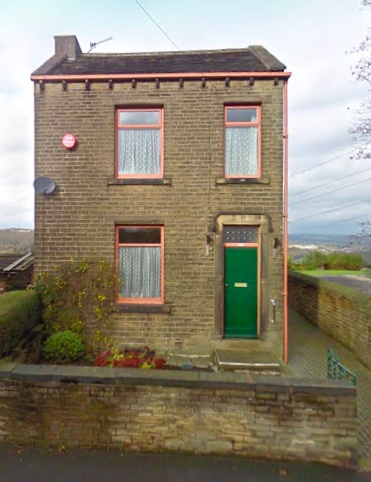
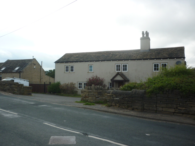
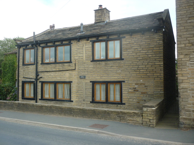
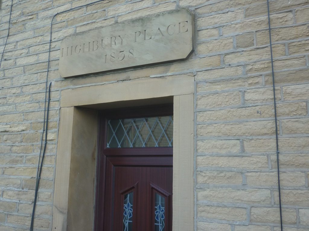
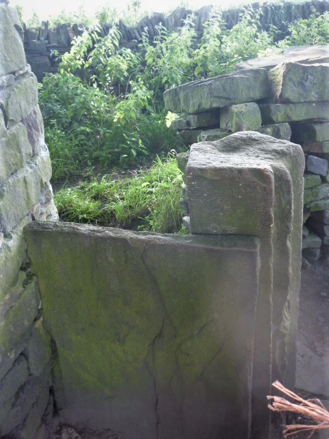
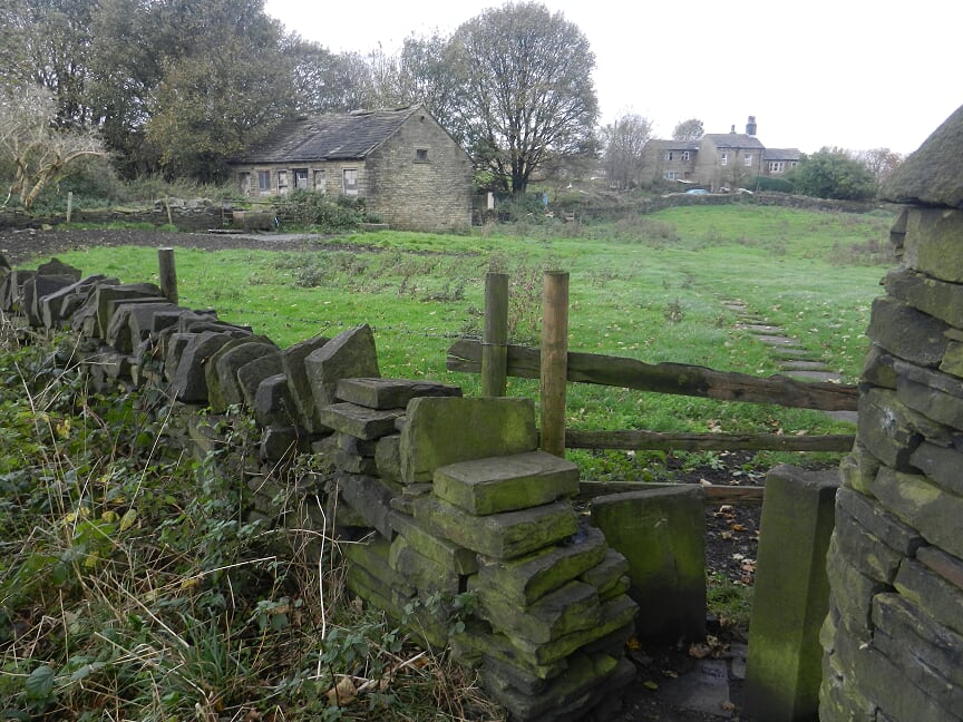
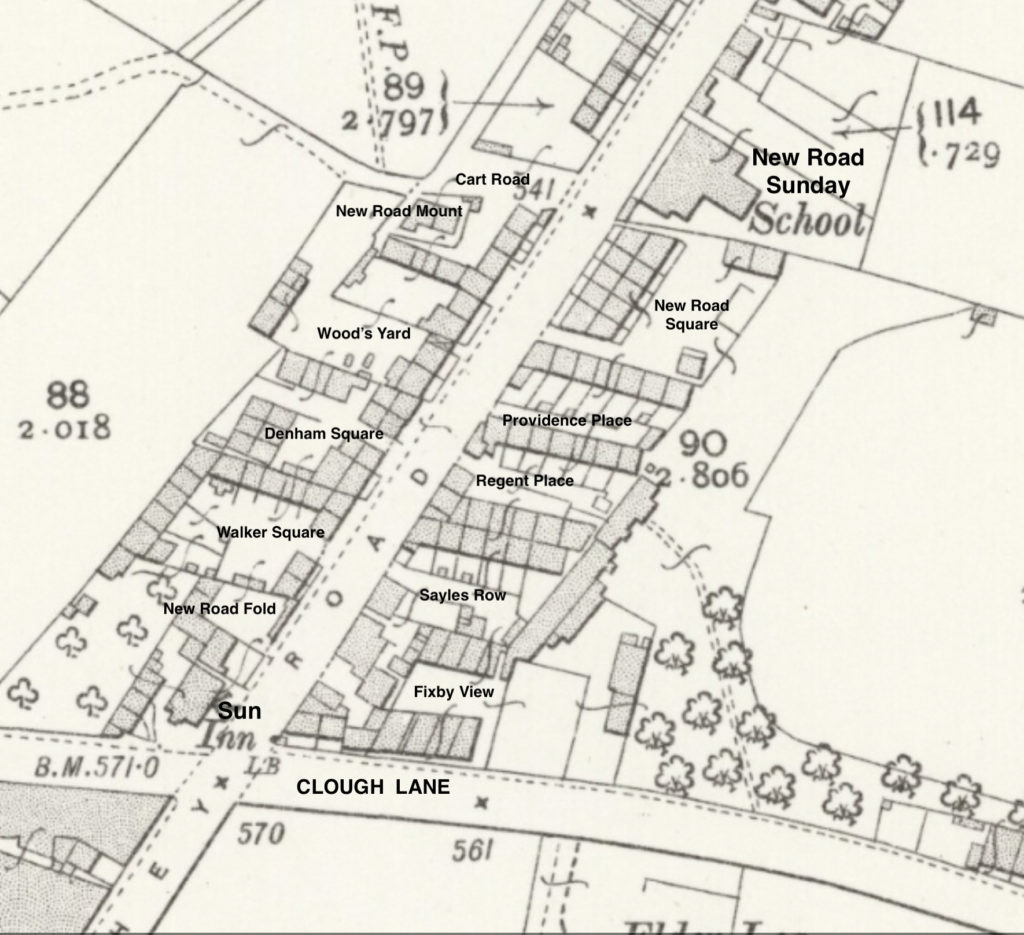
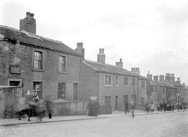
In February 1852 there was offered for sale by auction ‘all that substantial messuage or dwelling house, with the barn, stable and mistal, called or known by the name of New Hall Riding or Spout. And also the dryinghouses, dyehouse, warehouse and buildings thereto belonging. Together with all those four several closes or parcels of excellent land therewith occupied, called or commonly known by the several names of Back Door Close, the North Field, the Upper Ing and the Lower Ing, containing together by estimation nine days’ work, be the same more or less, all now in the occupation of Mr Jonathan Schofield, the owner, or his under-tenants…. The buildings on the estate are modern, well constructed and in excellent repair, and are well adapted for manufacturing or dying purposes.’

In August 1853 Jonathan Schofield sold by auction ‘a large quantity of fancy weavers implements &c on account of discontinuing some part of his business’. 

He did not give that up completely as is evidenced by a reported burglary at his works in December 1854. In August 1860 he advertised to be sold or let at Oaks Green, ‘good substantial buildings in excellent condition part of which had been recently erected, well adapted for a fancy woollen manufacturer, having been used for that purpose for more than fifty years’. The whole comprised ‘five large rooms with chambers over, two large warehouses, press shop, five stall stable, coach house, cart sheds, two large gardens, and land with never failing spring of water, owned and occupied by himself.’

This was offered again in September, this time by auction, with the explanation that Jonathan Schofield was ‘declining in business.’

The following August there was yet another notice of goods and equipment for auction and premises for sale. Again, he did not give up entirely, for in 1862 it was reported that his mill had lead stolen from the roof.

In July 1863, ‘a dwelling house, outbuildings and a warehouse and premises, 3100 square yards in total, occupied by Mr Jonathan Schofield and situate at Oaks Green,’ were offered for sale. In October he offered for sale, in working order , twenty-eight yards of double stove tenters, ‘the room being wanted for another purpose’.

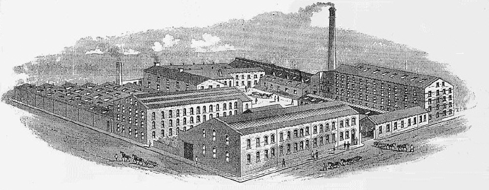
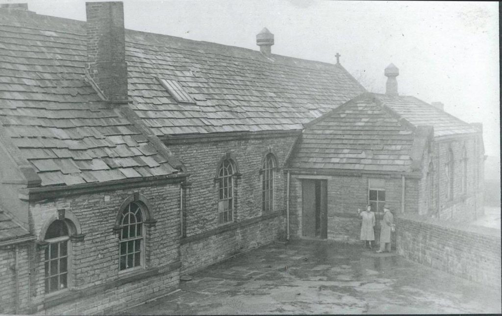
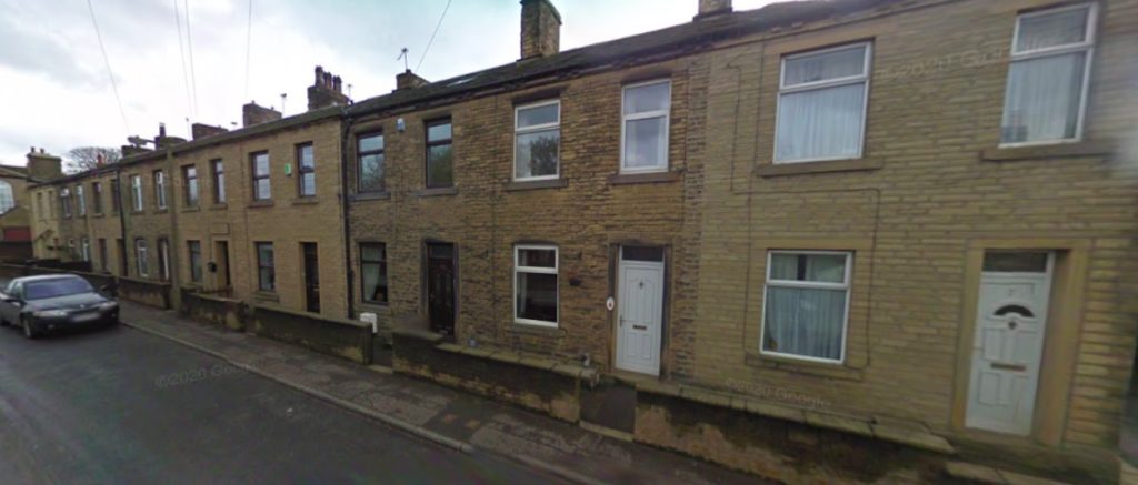
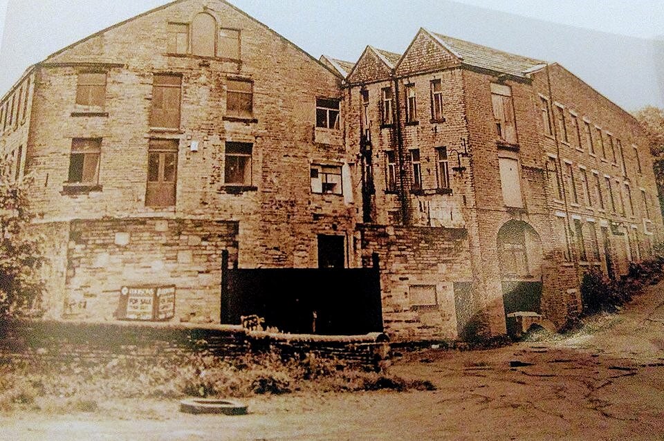
In the 1861 census Thomas Helm is described as a fancy woollen manufacturer, and William, his father, as a fancy woollen manufacturer employing one hundred and eighty hands. In 1870 Thomas Helm established the firm of Thomas Helm and Sons at Spout Mill, spinning and scribbling mills. The mill had been built by Thomas, his brother, John, and his father, William, in 1850. Whether or not this was the same mill offered for sale by Jonathan Schofield in 1852 is unclear – given the history of Mr Schofield’s sales, it seems more likely to have been an adjoining property. Certainly William Helm was manufacturing in Rastrick in 1852, for in April he was the defendant in a court case when he had refused to pay for yarn of unsatisfactory quality. Thos. Helm & Sons Ltd. remained in the family and was apparently still a thriving concern in the 1950’s, receiving planning permission for a further extension to Spout Mills in September 1952. However, the firm closed in the 1960’s.

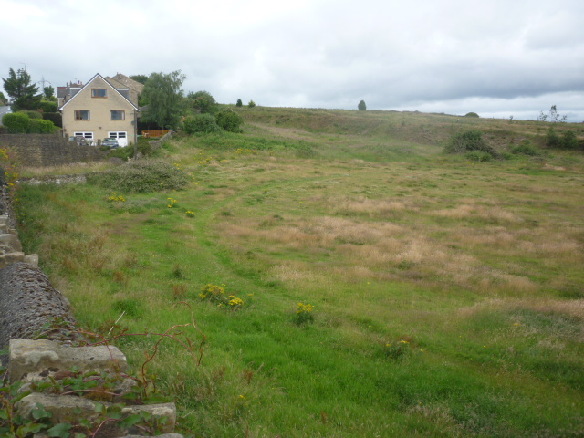
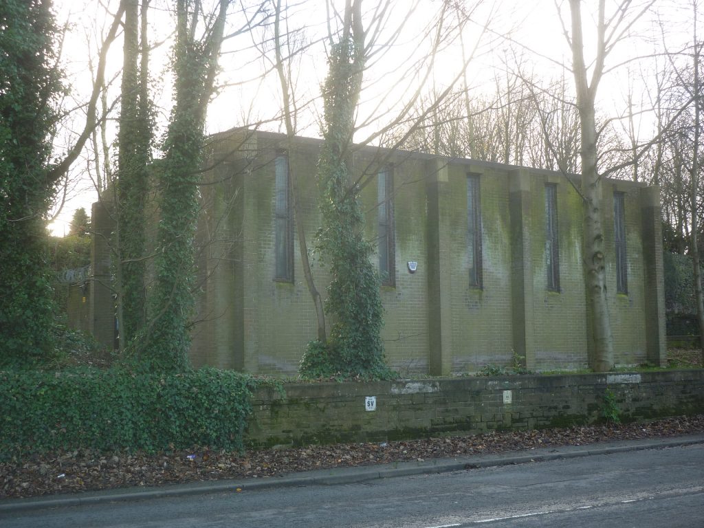
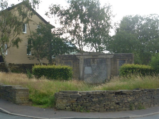
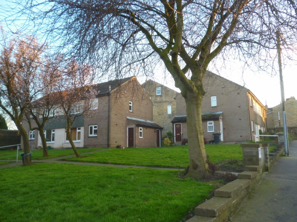
After the demise of Helm’s, the mills were used by several small businesses, one of these being Cellofoam, part of Lord Kagan’s textile empire.  A three-storey building full of carpets was destroyed by fire in 2001 and had to be demolished. The remaining buildings were demolished in autumn 2005 and the present flats built the following year.

Spout Mills with track on the right leading up to Spout Hill. The arched doorway below the loading doors on the right is entrance to the "Intak" that led under the mill and past the Duel Hole, washrooms and carding rooms. The path continued down past the mill dam and emerged at the bottom of Delf Hill. It was the quickest route to Badger Hill cricket field from my grandad's house on Toft Grove.

The former Spout Mills site is now populated with modern houses and apartments. From Croft Hollow, turn left onto Spout Hill where the road passes Sage Grove before reaching the top of the hill at its junction with New Hey Road. On the left in the twentieth century was a wooden hut selling greengroceries and on the right, for some years in the 1970’s and ‘80’s, a Volkswagen parts suppliers. This also involved some vehicles languishing for long periods in a state of disrepair which was annoying to some residents.

The corner house on the left at the top of the hill was the Co-op manager’s house attached to the Oaks Green branch of Brighouse Co-operative Society. The Co-op had been doing so well in Rastrick that in March 1864 that, ‘it was decided to buy from John Crossland, a plot of land at Oaks Green with frontage to New Road’. On this land would be built ‘a new store and two cottages’. There was some dispute with the Rastrick Local Board regarding the building line but a compromise was reached. Tenders for the work were submitted in June and after some discussion about costs, accepted in August that same year. In the 1970’s the Co-op closed many of its branches, including that at Oaks Green. Subsequently the premises have been occupied by a carpet shop and, most recently, a milliner’s.

Straight ahead, on New Hey Road is what is now called Apex House, and behind that, beside Greenhead Lane, premises which in recent years have gone by such names as the Spitfire and the RAFA Club but which at the start of the twentieth century were the home of the South Ward Liberal Club.

Turn right to go up New Hey Road. The large house on your right is Croft House, built about 1850, though it is not marked on the 1854 map which was surveyed 1848-50. It was until 1964 the home of the mill-owning Helm family. The house was then divided into flats with a succession of short stay residents and became rather run down. In 1972 permission was given for it to become a hotel but this never happened. Eventually, it was sold and restored over the winter 2010-11 to its original form of ‘a smart gentleman’s residence.’ Part of the garden has been sold for building.

After Croft House, the next three blocks of houses now numbered 34 – 60 look very similar to each other and were probably built about the same time. They are not marked on the 1854 map.
 

Across the road a large house has its back to the road. It is not the only example in the area. It has to be borne in mind that the road itself at this point is of comparatively recent origin – the 1800’s – so some buildings predate it.

Next on the east side of the road is what now officially goes under the name of New Road Independent Family Church but is much better known as New Road Sunday School. This was founded in 1837 and has been extended on several occasions since then. Through the nineteenth and twentieth centuries the Sunday School was the centre of local social life. Until the opening of Carr Green School in 1912, New Road was the local day school. During the second world war it housed a British Restaurant. Famed until recently for its cricket and billiards teams, in the past it ran many other sports, entered a float for the annual Brighouse gala, often winning a high prize, and mounted several public concerts each year. For much more information refer to the New Road Sunday School section on this website where Andrew Eccles’s 2012 book, The History of New Road Sunday School, Rastrick is available to read online.

New Road Independent Family Church

Immediately above the church is the last locally remaining block of back-to-back houses. The fronts have addresses on New Hey Road and the backs are on New Road Square. Perhaps surprisingly, these were not condemned at the same time as New Road Mount, which was on the spare ground on the right, or Denham Square, Walker Square and New Road Fold further up and, across the road, Providence Place, Regent Place and Sayles Row. Those were all subject of The Borough of Brighouse (New Hey Road no.1) Clearance Order 1959, which came into operation on 19th February 1960. 

1905 with the names of the various squares off New Hey Road

The site of those last three is now occupied by four blocks of four flats, intended for occupation by older people. They were built in 1967 and named Regent Close, pictured below.

Regents Close
The site of Denham Square has two blocks of semi-detached houses built in 1976, the driveway between them almost exactly marking the previous entrance to the Square. The entrance to Walker Square remains, being now the driveway to Field View House, built in 1968. Look up at the side wall of number 90 and you will see the signs “Walker Square” and “Unadopted” still in place. Now look back across the road and by the bus stop you will see what is left of walls from Sayles Row buildings.
 
Walker Square off New Hey Road (modern colourisation of a monochrome photo). These houses backed onto the cricket field at Badger Hill

On the right above the entrance to Walker Square is a house, now numbered 90 – 92, which was formerly a house and grocers shop. Outside the shop was the tram stop, later trolley bus and now bus stop. On the photograph below, you can make out the name of Shaw on the board above the door. The photo is dated 1905 when Sarah Jane Shaw, a spinster, along with her niece, Sarah Margaret Whiteley, ran the shop. Sarah Jane’s parents, Matthias and Elizabeth Shaw had owned the shop from at least the 1860’s and possibly from when it was built as he lived at New Road all his life, having been born in 1808. He worked from there as a cordwainer (shoemaker) and grocer.

New Hey Road below the Sun Inn with Walker Square between the top two buildings

Across the road from 90 – 92 is what is now a take-away-food shop with attached house. Until the 1904 Licensing Act took effect this was a beer-house known as the Black Horse. This was another building which originally had no door onto the road. We know it was already a beer house in 1852 when John Pearson ‘late of the Black Horse Inn, Rastrick’ died. By 1871 one of the Bottomley families held the licence and over the generations, they were there for at least forty-one years.

When the licence was challenged in 1912, Whitaker & Co., who owned the house, objected on the grounds that it had been in operation for over seventy years without a single complaint and that if it were closed a rival company, Ramsden’s, would have a monopoly in the area. Nevertheless, it was closed the following year. A door was inserted in the New Road frontage and for many years there was a fish and chip shop here, known as the New Road Fisheries and later, Black Horse Fisheries. More recently, with enlarged door and windows and under a succesion of names, it has served south-east Asian style food. 

Look at the building behind the shop and note its enormity. Towering over the surrounding houses and with an unusually large overhang at the eaves, this is the end gable of Fixby View Yard and its Clough Lane frontage. Here was a woollen mill, marked as such on the 1854 map. A plan, submitted by one John Taylor, to convert these blocks into four dwelling-houses and four ‘cottages’ was approved on the 3rd June 1891.

Also across the road, note the blocked doorways of what were originally two houses, now numbered 79 – 81. At least as early as the 1861 census there was a grocer’s shop here. By 1910 the two premises had been combined as a house and shop – despite there being a similar establishment directly across the road. Post-war it was a hairdresser, cigarette and sweet shop. From 1959 to ’69 Evelyn and Jimmy Dawson sold sweets and greetings cards but when they left it soon closed as a shop.

To the right, the modern house is appropriately named “The Fold”, standing as it does on the site of New Road Fold, which was demolished with the other squares in the 1960’s.

We are back where we started at the Sun Inn crossroads. The walk ends here and if you have actually walked the route, you can decide whether to partake of refreshments.

The Sun Inn in 2015